Loading...
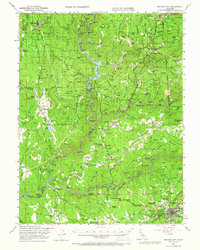
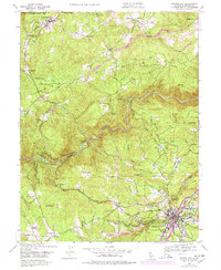
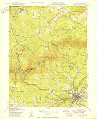
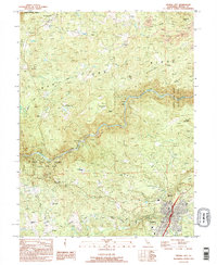
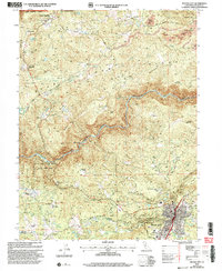
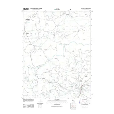
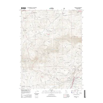
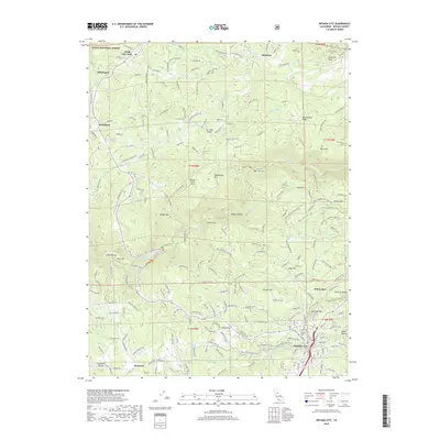
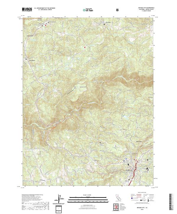
Loading map...1948 Map of Nevada City
USGS Topo · Published 1966About this map
The Middle Yuba River and South Yuba River carve through this landscape, defining a region where the legacies of hydraulic mining and early power generation are plainly visible. In the late 1940s, the map shows the impact of the gold era through features like the Cherokee Diggings, Grizzly Diggings, and the massive Idaho Maryland Mine near Nevada City Rancheria. The Bullards Bar Reservoir and Colgate Powerhouse signal the mid-century transition toward water management and electrification that reshaped these valleys.
Find a feature on this map
162 named features on this map. Tap any name to fly to it.
Don’t see what you’re looking for? This feature index may not catch every label — zoom into the map to look around manually.
Map Details
Date Portrayed1948
Date Published1966
PublisherU.S. Geological Survey
Map TypeTopographic
Scale1:62,500
Physical Dimensions16.6 x 20.8 inches
Editions of this 1948 Nevada City Map
4 editions found
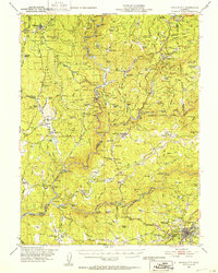
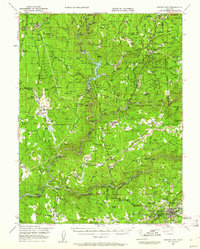
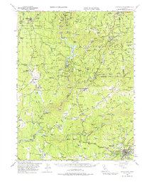
Historical Maps of Nevada City Through Time
9 maps found
Featured Locations
Source Details
SourceU.S. Geological Survey
CopyrightPublic Domain