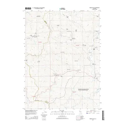
2015 Map of French Gulch
USGS Topo · Published 2015About this map
The Trinity Mountains define the high country of this Northern California landscape, where the rugged terrain transitions between the Shasta and Trinity county lines. The historic mining corridor of French Gulch serves as a primary point of interest, situated near the confluence of Clear Creek and several steep drainages like Slaughterhouse Gulch and Cline Gulch. To the west, the settlement of Deadwood is reached via the aptly named Brown Bear-Mine Rd, signaling the area's deep-rooted industrial heritage.
Find a feature on this map
59 named features on this map. Tap any name to fly to it.
Don’t see what you’re looking for? This feature index may not catch every label — zoom into the map to look around manually.
Map Details
Editions of this 2015 French Gulch Map
This is the sole edition of this map. No revisions or reprints were ever made.
Other maps of this area
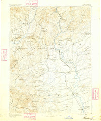
1890 · Red Bluff
USGS Topo · 1:250,000
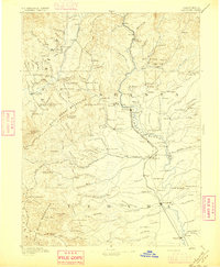
1894 · Red Bluff
USGS Topo · 1:250,000
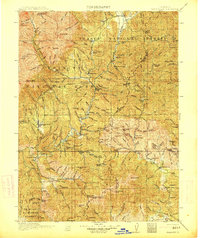
1913 · Weaverville
USGS Topo · 1:125,000
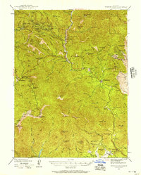
1944 · French Gulch
USGS Topo · 1:62,500
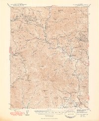
1948 · French Gulch
USGS Topo · 1:62,500
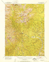
1950 · Minersville
USGS Topo · 1:62,500
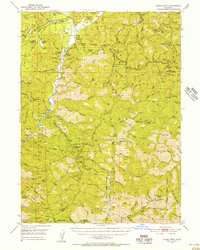
1950 · Schell Mtn
USGS Topo · 1:62,500
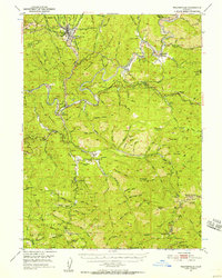
1950 · Weaverville
USGS Topo · 1:62,500
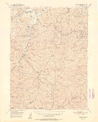
1952 · Schell Mtn.
USGS Topo · 1:62,500
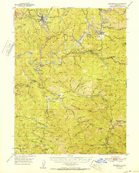
1952 · Weaverville
USGS Topo · 1:62,500