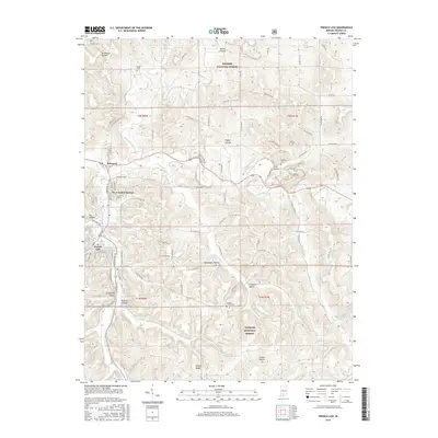
2016 Map of French Lick
USGS Topo · Published 2016About this map
West Baden Springs and Prospect define the urban character of this Orange County landscape, where the built environment of these famous resort towns meets the expansive woodland of the Hoosier National Forest. The hydrology of the region is notably complex, centered on the winding path of the Lost River and its various tributaries like Lick Creek and French Lick Creek. The terrain is characterized by numerous named hollows and ridges that separate the primary drainage basins.
Find a feature on this map
82 named features on this map. Tap any name to fly to it.
Don’t see what you’re looking for? This feature index may not catch every label — zoom into the map to look around manually.
Map Details
Editions of this 2016 French Lick Map
This is the sole edition of this map. No revisions or reprints were ever made.
Other maps of this area

1948 · Huron
USGS Topo · 1:24,000

1949 · Georgia
USGS Topo · 1:24,000

1950 · Mitchell
USGS Topo · 1:24,000

1950 · Huron
USGS Topo · 1:24,000

1950 · Valeene
USGS Topo · 1:24,000

1951 · Hillham
USGS Topo · 1:24,000

1951 · French Lick
USGS Topo · 1:24,000

1951 · Georgia
USGS Topo · 1:24,000

1956 · Greenbrier
USGS Topo · 1:24,000

1956 · Vincennes
USGS Topo · 1:250,000