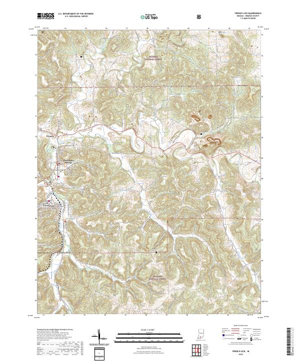
2022 Map of French Lick
USGS Topo · Published 2022About this map
West Baden Springs and adjacent French Lick form the urban core of this Orange County landscape, where the street grids of these historic resort communities meet the dense, dissected terrain of the Hoosier National Forest. The map documents a complex drainage system defined by the Lost River and its meandering tributaries, including Lick Creek and French Lick Creek. Numerous family and community landmarks are scattered across the surrounding ridges and valleys, such as Moores Ridge and the deep cuts of Stillhouse Hollow, Grapevine Hollow, and Barnhelsel Hollow. For genealogists, several burial sites are recorded, including Sulphur Creek Cem and Miller Cem. The survey illustrates the modern road network, from State Rd 145 to the network of county routes like W Co Rd 25 S, providing a clear record of how 21st-century infrastructure follows the natural contours of the Indiana limestone country.
Find a feature on this map
75 named features on this map. Tap any name to fly to it.
Don’t see what you’re looking for? This feature index may not catch every label — zoom into the map to look around manually.
Map Details
Editions of this 2022 French Lick Map
This is the sole edition of this map. No revisions or reprints were ever made.
Other maps of this area

1948 · Huron
USGS Topo · 1:24,000

1949 · Georgia
USGS Topo · 1:24,000

1950 · Mitchell
USGS Topo · 1:24,000

1950 · Huron
USGS Topo · 1:24,000

1950 · Valeene
USGS Topo · 1:24,000

1951 · Hillham
USGS Topo · 1:24,000

1951 · French Lick
USGS Topo · 1:24,000

1951 · Georgia
USGS Topo · 1:24,000

1956 · Greenbrier
USGS Topo · 1:24,000

1956 · Vincennes
USGS Topo · 1:250,000