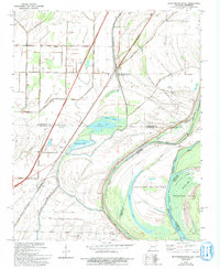
1970 Map of Frenchmans Bayou
USGS Topo · Published 1993About this map
Frenchmans Bayou serves as the focal point of this delta landscape along the Arkansas-Tennessee border. The terrain is defined by the intricate hydrology of the Mississippi River floodplain, where several oxbow lakes including Meneshea Lake, Stave Lake, and Swan Lake trace the ancestral paths of the river. The presence of the St Francis Levee and an extensive drainage system, such as Ditch No 15 and Ditch No 1, illustrates the monumental engineering required to manage the wetlands for agriculture and settlement.
Find a feature on this map
44 named features on this map. Tap any name to fly to it.
Don’t see what you’re looking for? This feature index may not catch every label — zoom into the map to look around manually.
Map Details
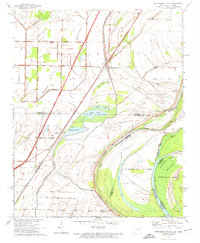
Editions of this 1970 Frenchmans Bayou Map
2 editions found
Other maps of this area

1931 · Jericho
USGS Topo · 1:62,500

1939 · Jericho
USGS Topo · 1:62,500

1939 · Evadale
USGS Topo · 1:62,500

1940 · Deckerville
USGS Topo · 1:62,500

1941 · Marked Tree
USGS Topo · 1:62,500

1952 · Jericho
USGS Topo · 1:62,500

1953 · Memphis
USGS Topo · 1:250,000

1956 · Evadale
USGS Topo · 1:62,500

1956 · Marked Tree
USGS Topo · 1:62,500

1956 · Memphis
USGS Topo · 1:250,000