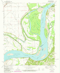
1972 Map of Nodena
USGS Topo · Published 1984About this map
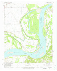
Chickasaw Bluffs rise above the eastern bank of the Mississippi River, creating a dramatic geological contrast to the alluvial lowlands on the Arkansas side. This 1970s landscape is defined by the complex shifting of the river channel, evidenced by the broad Sunrise Towhead and the Sunrise Towhead Chute that separate Island No 34 from the mainland. The area's plantation and riverboat heritage remains visible through riverfront settlements like Richardsons and Randolph, the latter of which features several family and community burial grounds, including Old Randolph Cem and Williams Cem.
Find a feature on this map
49 named features on this map. Tap any name to fly to it.
Don’t see what you’re looking for? This feature index may not catch every label — zoom into the map to look around manually.
Map Details
Editions of this 1972 Nodena Map
2 editions found
Other maps of this area

1931 · Jericho
USGS Topo · 1:62,500

1939 · Jericho
USGS Topo · 1:62,500

1939 · Evadale
USGS Topo · 1:62,500

1942 · Millington
USGS Topo · 1:62,500

1952 · Jericho
USGS Topo · 1:62,500

1953 · Memphis
USGS Topo · 1:250,000

1956 · Evadale
USGS Topo · 1:62,500

1956 · Memphis
USGS Topo · 1:250,000

1956 · Blytheville
USGS Topo · 1:250,000

1959 · Blytheville
USGS Topo · 1:250,000