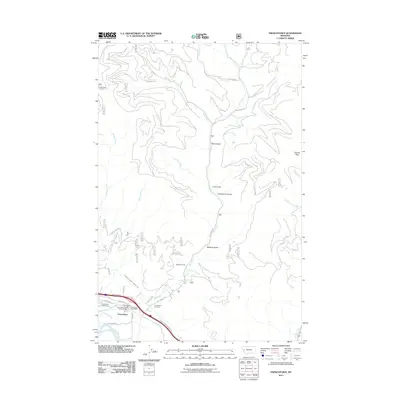
2011 Map of Frenchtown
USGS Topo · Published 2011About this map
Frenchtown sits along the Clark Fork river in Missoula County, acting as a focal point for the surrounding mountain drainages. The settlement's infrastructure is anchored by the Frenchtown Post Office and the Frenchtown Rural Fire Dist Sta 1, while the Frenchtown Irrigation District Ditch highlights the local reliance on managed water systems for the valley's land use.
Find a feature on this map
37 named features on this map. Tap any name to fly to it.
Don’t see what you’re looking for? This feature index may not catch every label — zoom into the map to look around manually.
Map Details
Editions of this 2011 Frenchtown Map
This is the sole edition of this map. No revisions or reprints were ever made.
Other maps of this area

1912 · Missoula
USGS Topo · 1:125,000

1956 · Wallace
USGS Topo · 1:250,000

1956 · Hamilton
USGS Topo · 1:250,000

1959 · Hamilton
USGS Topo · 1:250,000

1959 · Alberton
USGS Topo · 1:62,500

1959 · Arlee
USGS Topo · 1:62,500

1960 · Wallace
USGS Topo · 1:250,000

1960 · Hamilton
USGS Topo · 1:250,000

1963 · Primrose
USGS Topo · 1:24,000

1964 · Hamilton
USGS Topo · 1:250,000