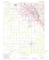
1963 Map of Fresno South
USGS Topo · Published 1982About this map
The expanding urban footprint of Fresno meets a complex agricultural irrigation network in this early 1960s survey, with later revisions highlighting the city's southward growth toward Calwa and Easton. The landscape is defined by an intricate system of water management, including the Fresno Canal, Washington Colony Canal, and Malaga Canal, which supported the region's intensive farming. Aviation history is centered at the Fresno-Chandler Downtown Airport, while several large memorial sites such as Belmont Memorial Park and Mountain View Cemetery serve the growing population.
Find a feature on this map
108 named features on this map. Tap any name to fly to it.
Don’t see what you’re looking for? This feature index may not catch every label — zoom into the map to look around manually.
Map Details
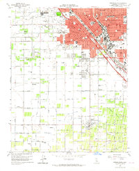
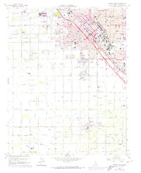
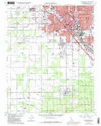
Editions of this 1963 Fresno South Map
4 editions found
Other maps of this area

1921 · Bullard
USGS Topo · 1:31,680

1923 · Kearney Park
USGS Topo · 1:31,680

1923 · Malaga
USGS Topo · 1:31,680

1923 · Herndon
USGS Topo · 1:31,680

1923 · Fresno
USGS Topo · 1:31,680

1923 · Clovis
USGS Topo · 1:31,680

1923 · Bullard
USGS Topo · 1:31,680

1924 · Conejo
USGS Topo · 1:31,680

1925 · Raisin
USGS Topo · 1:31,680

1925 · Caruthers
USGS Topo · 1:31,680