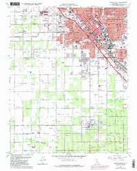
1963 Map of Fresno South
USGS Topo · Published 1982About this map
Fresno urban expansion is captured here in several stages of mid-century growth, from its core city blocks out to the smaller outlying communities of Calwa and Easton. The southern reaches of the city are defined by a dense concentration of public and parochial education centers, including Roosevelt High Sch, Edison High Sch, and St Johns Sch. A significant portion of the northern landscape is dedicated to historic interment grounds, specifically the large cluster of Mountain View Cemetery, Holy Cross Cem, and Belmont Memorial Park.
Find a feature on this map
69 named features on this map. Tap any name to fly to it.
Don’t see what you’re looking for? This feature index may not catch every label — zoom into the map to look around manually.
Map Details
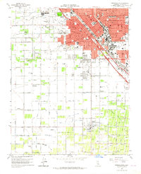
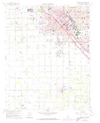
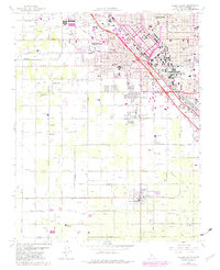
Editions of this 1963 Fresno South Map
4 editions found
Other maps of this area

1921 · Bullard
USGS Topo · 1:31,680

1923 · Kearney Park
USGS Topo · 1:31,680

1923 · Malaga
USGS Topo · 1:31,680

1923 · Herndon
USGS Topo · 1:31,680

1923 · Fresno
USGS Topo · 1:31,680

1923 · Clovis
USGS Topo · 1:31,680

1923 · Bullard
USGS Topo · 1:31,680

1924 · Conejo
USGS Topo · 1:31,680

1925 · Raisin
USGS Topo · 1:31,680

1925 · Caruthers
USGS Topo · 1:31,680