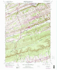
1945 Map of Friedensburg
USGS Topo · Published 1978About this map
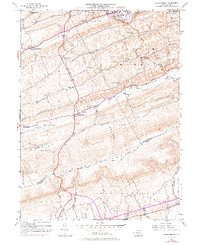
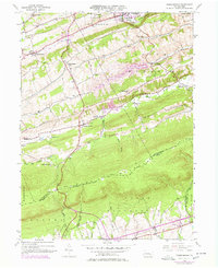
Blue Mountain dominates the southern landscape of this mid-century survey, its ridge serving as the natural boundary between Schuylkill Co and Berks Co. To the north, the geography is defined by a series of valleys hosting small agricultural and industrial settlements such as Friedensburg, Schuylkill Haven, and Cressona. The Reading railroad corridor follows the path of the Schuylkill River, connecting the coal region's transit network.
Find a feature on this map
39 named features on this map. Tap any name to fly to it.
Don’t see what you’re looking for? This feature index may not catch every label — zoom into the map to look around manually.
Map Details
Editions of this 1945 Friedensburg Map
7 editions found

Other maps of this area

1889 · Pottsville
USGS Topo · 1:62,500

1891 · Pottsville
USGS Topo · 1:62,500

1891 · Lebanon
USGS Topo · 1:62,500

1892 · Pine Grove
USGS Topo · 1:62,500

1893 · Lebanon
USGS Topo · 1:62,500

1899 · Lebanon
USGS Topo · 1:62,500

1902 · Wernersville
USGS Topo · 1:62,500

1943 · Lebanon
USGS Topo · 1:62,500

1943 · Wernersville
USGS Topo · 1:62,500

1944 · Pottsville
USGS Topo · 1:24,000
Featured Places
- Bethel Township, PA
- Friedensburg, Wayne Township
- North Manheim Township, PA
- Summit Station, Wayne Township
- Reedsville, Wayne Township