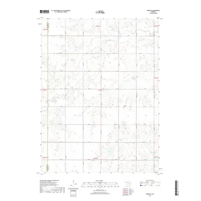
2017 Map of Friend SE
USGS Topo · Published 2017About this map
The agrarian landscape along the boundary of Saline and Fillmore Counties is defined by a grid of rural section roads and the winding drainage of Turkey Creek. This 2017 survey reveals the importance of water management in the region, featuring several man-made catchments including Weber Reservoir, Bruntz Reservoir, and the Swan Creek Reservoir 5-C in the southeastern corner. These reservoirs support the surrounding agricultural operations that dominate the terrain. For those researching family history in the area, the map precisely locates the Applegate Cem north of Co RD K, providing a specific geographic anchor for local genealogy. The drainage patterns of the N Fork Swan Cr and Dry Br illustrate the natural topography that directs the flow toward the Swan Creek basin, even as the landscape is strictly partitioned by the county line and the township-and-range surveying system.
Find a feature on this map
26 named features on this map. Tap any name to fly to it.
Don’t see what you’re looking for? This feature index may not catch every label — zoom into the map to look around manually.
Map Details
Editions of this 2017 Friend SE Map
This is the sole edition of this map. No revisions or reprints were ever made.
Other maps of this area

1935 · Dorchester
USGS Topo · 1:48,000

1940 · Dorchester
USGS Topo · 1:62,500

1955 · Lincoln
USGS Topo · 1:250,000

1957 · Lincoln
USGS Topo · 1:250,000

1958 · Lincoln
USGS Topo · 1:250,000

1961 · Tobias
USGS Topo · 1:24,000
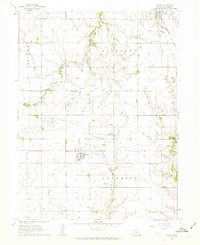
1961 · Ohiowa
USGS Topo · 1:24,000

1961 · Western
USGS Topo · 1:24,000
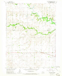
1964 · Dorchester NW
USGS Topo · 1:24,000
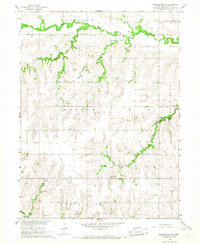
1966 · Dorchester SW
USGS Topo · 1:24,000