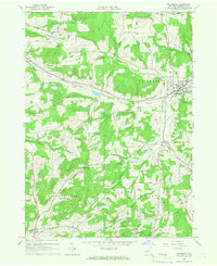
1965 Map of Friendship
USGS Topo · Published 1966About this map
Oil wells and gravel operations dot the landscape of southwestern Allegany County, revealing the mid-20th-century extractive economy of Clarksville and Wirt. The Erie-Lackawanna railroad cuts through the terrain, connecting the village of Friendship with the high-elevation settlement at Summit. The area's topography is defined by significant ridges like Jackson Hill and Beebe Hill, which direct the flow of water into the North Branch and West Branch of Van Campen Creek.
Find a feature on this map
71 named features on this map. Tap any name to fly to it.
Don’t see what you’re looking for? This feature index may not catch every label — zoom into the map to look around manually.
Map Details
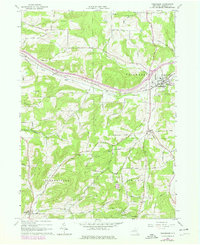
Editions of this 1965 Friendship Map
2 editions found
Other maps of this area

1898 · Olean
USGS Topo · 1:62,500

1906 · Angelica
USGS Topo · 1:62,500

1924 · Franklinville
USGS Topo · 1:62,500

1925 · Belmont
USGS Topo · 1:62,500

1938 · Olean
USGS Topo · 1:62,500

1939 · Belmont
USGS Topo · 1:62,500

1941 · Angelica
USGS Topo · 1:62,500

1942 · Franklinville
USGS Topo · 1:62,500

1943 · Olean
USGS Topo · 1:62,500

1960 · Buffalo
USGS Topo · 1:250,000