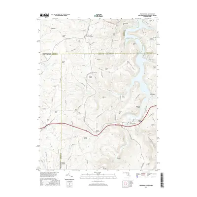
2016 Map of Friendsville
USGS Topo · Published 2016About this map
Friendsville sits at the heart of this Appalachian intersection where the Youghiogheny River carves through the Maryland and Pennsylvania borderlands. This 2016 survey highlights a landscape defined by significant elevation changes, from the waters of the Youghiogheny River Lake to the heights of Winding Ridge and Blooming Rose Hill. The area is characterized by a high density of family and community burial grounds, such as Great Crossings Cem, Steel Cem, and Blooming Rose Cem, which provide essential points of reference for genealogical research in Garrett County.
Find a feature on this map
107 named features on this map. Tap any name to fly to it.
Don’t see what you’re looking for? This feature index may not catch every label — zoom into the map to look around manually.
Map Details
Editions of this 2016 Friendsville Map
This is the sole edition of this map. No revisions or reprints were ever made.
Other maps of this area

1900 · Accident
USGS Topo · 1:62,500

1900 · Uniontown
USGS Topo · 1:62,500

1904 · Bruceton
USGS Topo · 1:62,500

1922 · Confluence
USGS Topo · 1:62,500

1926 · Bruceton
USGS Topo · 1:62,500

1931 · Uniontown
USGS Topo · 1:62,500

1931 · Confluence
USGS Topo · 1:62,500

1931 · Bruceton Mills
USGS Topo · 1:62,500

1933 · Confluence
USGS Topo · 1:62,500

1933 · Bruceton
USGS Topo · 1:62,500