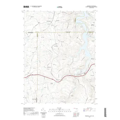
2019 Map of Friendsville
USGS Topo · Published 2019About this map
The Youghiogheny River flows through this tri-state borderland where Maryland, Pennsylvania, and West Virginia meet. The town of Friendsville serves as a central hub, flanked by the waters of the Youghiogheny River Lake and the winding course of Bear Creek. The landscape is defined by its deep hollows and prominent ridges, including Frazee Ridge, Winding Ridge, and Thomas Ridge, which suggest the difficult terrain managed by early settlers in Selbysport and Kendall.
Find a feature on this map
130 named features on this map. Tap any name to fly to it.
Don’t see what you’re looking for? This feature index may not catch every label — zoom into the map to look around manually.
Map Details
Editions of this 2019 Friendsville Map
This is the sole edition of this map. No revisions or reprints were ever made.
Other maps of this area

1900 · Accident
USGS Topo · 1:62,500

1900 · Uniontown
USGS Topo · 1:62,500

1904 · Bruceton
USGS Topo · 1:62,500

1922 · Confluence
USGS Topo · 1:62,500

1926 · Bruceton
USGS Topo · 1:62,500

1931 · Uniontown
USGS Topo · 1:62,500

1931 · Confluence
USGS Topo · 1:62,500

1931 · Bruceton Mills
USGS Topo · 1:62,500

1933 · Confluence
USGS Topo · 1:62,500

1933 · Bruceton
USGS Topo · 1:62,500