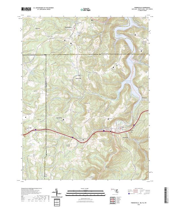
2023 Map of Friendsville
USGS Topo · Published 2023About this map
The Youghiogheny River flows through this tri-state border region, where the steep terrain of Winding Ridge and Division Ridge shapes the settlement patterns of Garrett County. The community of Friendsville serves as a focal point along the river, surrounded by a high density of family burial grounds and small rural settlements like Asher Glade, Sand Spring, and Keeler Glade. These place names and cemeteries, such as the Thomas Connaway Loudermilk Cem and Harden - Humberton Burial Ground, reflect deep-rooted ancestral ties to the land.
Find a feature on this map
94 named features on this map. Tap any name to fly to it.
Don’t see what you’re looking for? This feature index may not catch every label — zoom into the map to look around manually.
Map Details
Editions of this 2023 Friendsville Map
This is the sole edition of this map. No revisions or reprints were ever made.
Other maps of this area

1900 · Accident
USGS Topo · 1:62,500

1900 · Uniontown
USGS Topo · 1:62,500

1904 · Bruceton
USGS Topo · 1:62,500

1922 · Confluence
USGS Topo · 1:62,500

1926 · Bruceton
USGS Topo · 1:62,500

1931 · Uniontown
USGS Topo · 1:62,500

1931 · Confluence
USGS Topo · 1:62,500

1931 · Bruceton Mills
USGS Topo · 1:62,500

1933 · Confluence
USGS Topo · 1:62,500

1933 · Bruceton
USGS Topo · 1:62,500