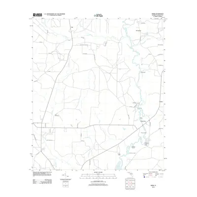
2012 Map of Frink
USGS Topo · Published 2012About this map
The Chipola River serves as the central artery for this portion of Calhoun County, winding southward toward the Dead Lakes. The settlement of Scotts Ferry marks a key point of river access, joined by several traditional riverfront landmarks including Smith Landing, Carter Landing, and Chesser Landing. These points, along with riverside bluffs like Coconut Bluff and Frozen Bluff, illustrate a landscape historically defined by waterway navigation and small-scale timber or agricultural transport.
Find a feature on this map
58 named features on this map. Tap any name to fly to it.
Don’t see what you’re looking for? This feature index may not catch every label — zoom into the map to look around manually.
Map Details
Editions of this 2012 Frink Map
This is the sole edition of this map. No revisions or reprints were ever made.
Other maps of this area

1944 · Clarksville
USGS Topo · 1:31,680

1945 · Dead Lake
USGS Topo · 1:31,680

1945 · Juniper Creek
USGS Topo · 1:31,680

1945 · Blountstown
USGS Topo · 1:31,680

1945 · Clarksville
USGS Topo · 1:31,680

1945 · Broad Branch
USGS Topo · 1:31,680

1945 · Estiffanulga
USGS Topo · 1:31,680

1945 · Orange
USGS Topo · 1:31,680

1945 · Frink
USGS Topo · 1:31,680

1945 · Tenmile Swamp
USGS Topo · 1:31,680