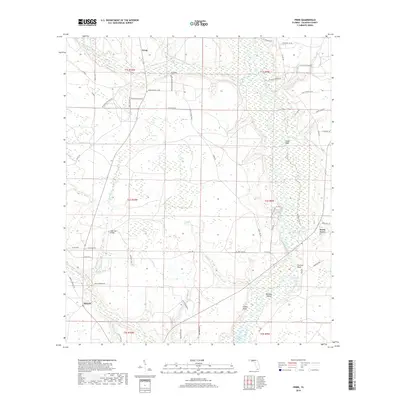
2018 Map of Frink
USGS Topo · Published 2018About this map
Frink and Kinard anchor this portion of Calhoun County, where the landscape transitions into the riverine wetlands of the Chipola River basin. The terrain is defined by numerous bays and ponds, such as Green Bay and Fox Pond, which illustrate the complex hydrology of the Florida panhandle. The southeastern corner of the map reveals the upper reaches of the Dead Lakes, a distinctive environment where the river spills over its banks into cypress-heavy swamplands. Cultural landmarks are scattered along the rural road network, including the McClellan Cem and the West Bay Bridge crossing. The prominence of named bluffs along the river, like Frozen Bluff and Cedar Bluff, suggests the historical importance of high ground for settlement and navigation in an otherwise water-dominant region. Local family names are preserved through thoroughfares like Clayton Shiver Rd and SW Capt Yonn Rd.
Find a feature on this map
70 named features on this map. Tap any name to fly to it.
Don’t see what you’re looking for? This feature index may not catch every label — zoom into the map to look around manually.
Map Details
Editions of this 2018 Frink Map
This is the sole edition of this map. No revisions or reprints were ever made.
Other maps of this area

1944 · Clarksville
USGS Topo · 1:31,680

1945 · Dead Lake
USGS Topo · 1:31,680

1945 · Juniper Creek
USGS Topo · 1:31,680

1945 · Blountstown
USGS Topo · 1:31,680

1945 · Clarksville
USGS Topo · 1:31,680

1945 · Broad Branch
USGS Topo · 1:31,680

1945 · Estiffanulga
USGS Topo · 1:31,680

1945 · Orange
USGS Topo · 1:31,680

1945 · Frink
USGS Topo · 1:31,680

1945 · Tenmile Swamp
USGS Topo · 1:31,680