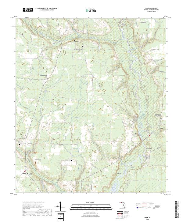
2024 Map of Frink
USGS Topo · Published 2024About this map
Frink and Kinard anchor this section of Calhoun County, where the landscape is defined by the winding course of the Chipola River and the transition into the Dead Lakes to the south. The area is dense with small, family-connected landmarks that offer significant value for genealogical research. Numerous burial grounds are scattered across the terrain, including the Billy Cook Family Cem, McClellan Cem, and the Clark and Jones Cem.
Find a feature on this map
80 named features on this map. Tap any name to fly to it.
Don’t see what you’re looking for? This feature index may not catch every label — zoom into the map to look around manually.
Map Details
Editions of this 2024 Frink Map
This is the sole edition of this map. No revisions or reprints were ever made.
Other maps of this area

1944 · Clarksville
USGS Topo · 1:31,680

1945 · Dead Lake
USGS Topo · 1:31,680

1945 · Juniper Creek
USGS Topo · 1:31,680

1945 · Blountstown
USGS Topo · 1:31,680

1945 · Clarksville
USGS Topo · 1:31,680

1945 · Broad Branch
USGS Topo · 1:31,680

1945 · Estiffanulga
USGS Topo · 1:31,680

1945 · Orange
USGS Topo · 1:31,680

1945 · Frink
USGS Topo · 1:31,680

1945 · Tenmile Swamp
USGS Topo · 1:31,680