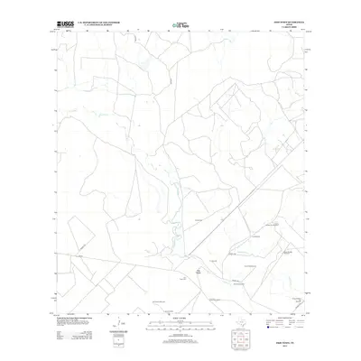
2013 Map of Frio Town
USGS Topo · Published 2013About this map
The Frio River meanders through this South Texas landscape, anchoring the historic vicinity of Frio Town. This area is defined by its deep ranching roots, with the Rock House Ranch and the Frio Town Cem serving as significant landmarks for local history and genealogy. The map reveals a specialized infrastructure for water management and energy, characterized by an extensive network of named windmills such as the Panic Field Windmill, Beef Trap Windmill, and Cow Pasture Windmill. Navigation through the scrub and river bottoms is facilitated by a grid of numbered prairie roads, including Prairie 1500 and Prairie 1900. Tributaries like Cocklebur Cr feed into the river system, highlighting the natural drainage patterns essential to the survival of these rural ranchlands.
Find a feature on this map
21 named features on this map. Tap any name to fly to it.
Don’t see what you’re looking for? This feature index may not catch every label — zoom into the map to look around manually.
Map Details
Editions of this 2013 Frio Town Map
This is the sole edition of this map. No revisions or reprints were ever made.
Other maps of this area

1925 · Pearsall 1-b
USGS Topo · 1:48,000

1927 · Pearsall
USGS Topo · 1:62,500

1928 · Frio Town
USGS Topo · 1:62,500

1942 · Divot
USGS Topo · 1:62,500

1953 · Crystal City
USGS Topo · 1:250,000

1954 · San Antonio
USGS Topo · 1:250,000

1955 · Crystal City
USGS Topo · 1:250,000

1956 · Divot
USGS Topo · 1:62,500

1957 · San Antonio
USGS Topo · 1:250,000

1961 · Crystal City
USGS Topo · 1:250,000