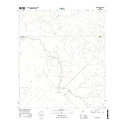
2016 Map of Frio Town
USGS Topo · Published 2016About this map
Frio Town sits along the southern banks of the Frio River, serving as a central point of historical interest in this South Texas landscape. This modern survey illustrates the persistent imprint of ranching culture and the early settlement patterns of the region, specifically where the Frio Town Cem marks the local heritage. The terrain is defined by the winding course of the Frio River and its tributary, Cocklebur Cr, which carve through the brush country. Transportation is dominated by rural corridors such as W Fm 140 and Squirrel Creek Rd, while private access points like Ahr Ranch and Vanco Ranch Rd indicate the vast private holdings that characterize the county. The map also delineates the northern boundary with Medina County, showing how the natural drainage systems influence the division of these ranchlands.
Find a feature on this map
13 named features on this map. Tap any name to fly to it.
Don’t see what you’re looking for? This feature index may not catch every label — zoom into the map to look around manually.
Map Details
Editions of this 2016 Frio Town Map
This is the sole edition of this map. No revisions or reprints were ever made.
Other maps of this area

1925 · Pearsall 1-b
USGS Topo · 1:48,000

1927 · Pearsall
USGS Topo · 1:62,500

1928 · Frio Town
USGS Topo · 1:62,500

1942 · Divot
USGS Topo · 1:62,500

1953 · Crystal City
USGS Topo · 1:250,000

1954 · San Antonio
USGS Topo · 1:250,000

1955 · Crystal City
USGS Topo · 1:250,000

1956 · Divot
USGS Topo · 1:62,500

1957 · San Antonio
USGS Topo · 1:250,000

1961 · Crystal City
USGS Topo · 1:250,000