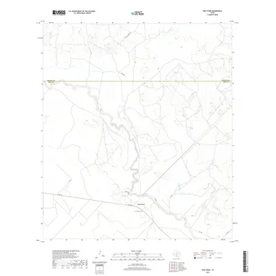
2019 Map of Frio Town
USGS Topo · Published 2019About this map
The settlement of Frio Town serves as the focal point of this South Texas landscape, situated along the meandering course of the Frio River. This 2019 survey provides a modern view of the area's enduring ranching identity, documented through family-named landmarks like the Ahr Ranch and infrastructure such as Vanco Ranch Rd. The river itself is joined by several tributaries, including Cocklebur Cr, which cut through the terrain south of the Medina and Frio County line.
Find a feature on this map
13 named features on this map. Tap any name to fly to it.
Don’t see what you’re looking for? This feature index may not catch every label — zoom into the map to look around manually.
Map Details
Editions of this 2019 Frio Town Map
This is the sole edition of this map. No revisions or reprints were ever made.
Other maps of this area

1925 · Pearsall 1-b
USGS Topo · 1:48,000

1927 · Pearsall
USGS Topo · 1:62,500

1928 · Frio Town
USGS Topo · 1:62,500

1942 · Divot
USGS Topo · 1:62,500

1953 · Crystal City
USGS Topo · 1:250,000

1954 · San Antonio
USGS Topo · 1:250,000

1955 · Crystal City
USGS Topo · 1:250,000

1956 · Divot
USGS Topo · 1:62,500

1957 · San Antonio
USGS Topo · 1:250,000

1961 · Crystal City
USGS Topo · 1:250,000