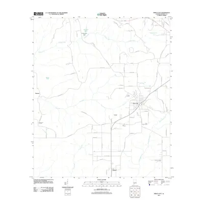
2011 Map of Frisco City
USGS Topo · Published 2011About this map
Frisco City serves as the central hub of this Monroe County landscape, situated at a junction of roads and rails that define the local economy. The surrounding terrain is intricately drained by a network of waterways including Big Escambia Creek and Bear Creek, which meander through a region marked by both natural and man-made landmarks. One notable industrial feature is the Frisco City Oil Field located southwest of the main settlement, indicating the importance of energy extraction in this part of Alabama.
Find a feature on this map
79 named features on this map. Tap any name to fly to it.
Don’t see what you’re looking for? This feature index may not catch every label — zoom into the map to look around manually.
Map Details
Editions of this 2011 Frisco City Map
This is the sole edition of this map. No revisions or reprints were ever made.
Other maps of this area

1953 · Andalusia
USGS Topo · 1:250,000

1957 · Andalusia
USGS Topo · 1:250,000

1972 · Monroeville
USGS Topo · 1:24,000

1972 · Frisco City
USGS Topo · 1:24,000

1972 · Frisco City SE
USGS Topo · 1:24,000

1972 · Uriah East
USGS Topo · 1:24,000

1972 · Excel
USGS Topo · 1:24,000

1972 · Mexia
USGS Topo · 1:24,000

1972 · Uriah West
USGS Topo · 1:24,000

1972 · Flynns Lake
USGS Topo · 1:24,000