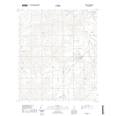
2020 Map of Frisco City
USGS Topo · Published 2020About this map
Frisco City serves as the central hub of this Monroe County landscape, where the local road network converges at the intersection of Commerce St and Houston St. The surrounding countryside is defined by several distinct rural communities and family-named water features, including Megargel to the south and Mexboro in the northeast. Waterways like Randons Cr and Big Escambia Cr drain the undulating terrain, punctuated by small reservoirs such as Boroughs Pond and Moores Pond.
Find a feature on this map
89 named features on this map. Tap any name to fly to it.
Don’t see what you’re looking for? This feature index may not catch every label — zoom into the map to look around manually.
Map Details
Editions of this 2020 Frisco City Map
This is the sole edition of this map. No revisions or reprints were ever made.
Other maps of this area

1953 · Andalusia
USGS Topo · 1:250,000

1957 · Andalusia
USGS Topo · 1:250,000

1972 · Monroeville
USGS Topo · 1:24,000

1972 · Frisco City
USGS Topo · 1:24,000

1972 · Frisco City SE
USGS Topo · 1:24,000

1972 · Uriah East
USGS Topo · 1:24,000

1972 · Excel
USGS Topo · 1:24,000

1972 · Mexia
USGS Topo · 1:24,000

1972 · Uriah West
USGS Topo · 1:24,000

1972 · Flynns Lake
USGS Topo · 1:24,000