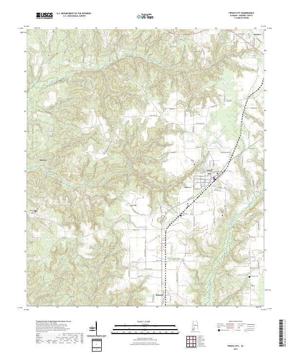
2024 Map of Frisco City
USGS Topo · Published 2024About this map
Big Escambia Creek and its many tributaries, including Lovetts Creek and Bear Creek, define the rolling geography of this Monroe County landscape. The settlement of Mexboro sits at the northeastern corner, while Megargel and Manistee anchor the southern and western reaches. This modern survey reflects the enduring rural character of the region, where family and community heritage is preserved through numerous local landmarks such as Mount Pisgah Cem and Báas Memorial Cem.
Find a feature on this map
90 named features on this map. Tap any name to fly to it.
Don’t see what you’re looking for? This feature index may not catch every label — zoom into the map to look around manually.
Map Details
Editions of this 2024 Frisco City Map
This is the sole edition of this map. No revisions or reprints were ever made.
Other maps of this area

1953 · Andalusia
USGS Topo · 1:250,000

1957 · Andalusia
USGS Topo · 1:250,000

1972 · Monroeville
USGS Topo · 1:24,000

1972 · Frisco City
USGS Topo · 1:24,000

1972 · Frisco City SE
USGS Topo · 1:24,000

1972 · Uriah East
USGS Topo · 1:24,000

1972 · Excel
USGS Topo · 1:24,000

1972 · Mexia
USGS Topo · 1:24,000

1972 · Uriah West
USGS Topo · 1:24,000

1972 · Flynns Lake
USGS Topo · 1:24,000