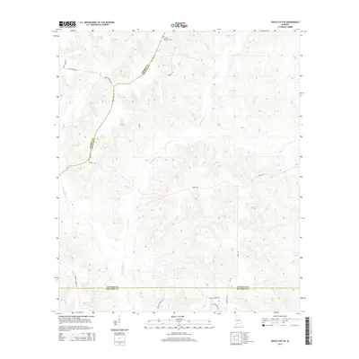
2014 Map of Frisco City SE
USGS Topo · Published 2014About this map
Old Stage Rd traces a historic overland corridor through the pine-dominated landscape of south-central Alabama, crossing the intersection of Monroe, Conecuh, and Escambia counties. This 2014 survey reveals a geography defined by its drainage basins, where Big Escambia Cr and its tributaries like Corley Cr and Rattlers Cr carve through the terrain. The presence of family and community-named landmarks such as the Sampey Community Cem and Scott Orchard Rd suggests a long-standing agricultural and timber-based heritage. The road network, including Grissett Bridge Rd and Canaan Church Rd, reflects the rural connectivity of the region, anchored by the borderlands of these three coastal plain counties.
Find a feature on this map
21 named features on this map. Tap any name to fly to it.
Don’t see what you’re looking for? This feature index may not catch every label — zoom into the map to look around manually.
Map Details
Editions of this 2014 Frisco City SE Map
This is the sole edition of this map. No revisions or reprints were ever made.
Other maps of this area

1953 · Andalusia
USGS Topo · 1:250,000

1957 · Andalusia
USGS Topo · 1:250,000

1960 · Huxford
USGS Topo · 1:24,000

1960 · Barnett Crossroads
USGS Topo · 1:24,000

1960 · Wallace
USGS Topo · 1:24,000

1971 · Range
USGS Topo · 1:24,000

1971 · Repton
USGS Topo · 1:24,000

1972 · Frisco City
USGS Topo · 1:24,000

1972 · Frisco City SE
USGS Topo · 1:24,000

1972 · Uriah East
USGS Topo · 1:24,000