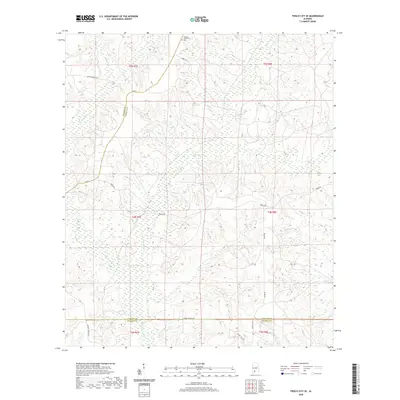
2020 Map of Frisco City SE
USGS Topo · Published 2020About this map
Sampey Community occupies the northern heights of this landscape, marked by its local history hub at the Sampey Community Cem. The area is defined by a dense network of waterways draining toward the southwest, including the meandering path of Big Escambia Cr and its various tributaries like Rattlers Cr and Corley Cr. These stream systems have historically shaped the rural road layout, with routes like Range Rd and Cannan Church Rd navigating the terrain between wetland margins.
Find a feature on this map
24 named features on this map. Tap any name to fly to it.
Don’t see what you’re looking for? This feature index may not catch every label — zoom into the map to look around manually.
Map Details
Editions of this 2020 Frisco City SE Map
This is the sole edition of this map. No revisions or reprints were ever made.
Other maps of this area

1953 · Andalusia
USGS Topo · 1:250,000

1957 · Andalusia
USGS Topo · 1:250,000

1960 · Huxford
USGS Topo · 1:24,000

1960 · Barnett Crossroads
USGS Topo · 1:24,000

1960 · Wallace
USGS Topo · 1:24,000

1971 · Range
USGS Topo · 1:24,000

1971 · Repton
USGS Topo · 1:24,000

1972 · Frisco City
USGS Topo · 1:24,000

1972 · Frisco City SE
USGS Topo · 1:24,000

1972 · Uriah East
USGS Topo · 1:24,000