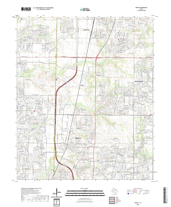
2022 Map of Frisco
USGS Topo · Published 2022About this map
Prosper and Frisco appear here as rapidly evolving suburban landscapes where modern developments merge with early North Texas settlement sites. The map records a dense network of residential streets and major thoroughfares like Eldorado Pkwy and Preston Trace Blvd, which have replaced the rural grid of older county roads. Despite this growth, several markers of the area's pioneer history remain, including the Landrum Cem and Smith Cem, positioned near the Denton and Collin County line. The hydrology of the area is well-defined by Panther Cr, Cottonwood Br, and W Rowlett Cr, which continue to shape the local topography. This record also highlights educational and community hubs such as the Collin College Preston Ridge Campus and Ridgeview West Memorial Park, capturing a specific moment in the continuing expansion of the Metroplex north of McKinney.
Find a feature on this map
54 named features on this map. Tap any name to fly to it.
Don’t see what you’re looking for? This feature index may not catch every label — zoom into the map to look around manually.
Map Details
Editions of this 2022 Frisco Map
This is the sole edition of this map. No revisions or reprints were ever made.
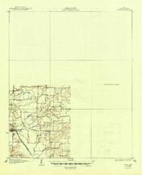
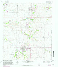
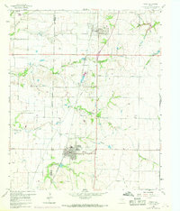
Historical Maps of Prosper Through Time
4 maps found