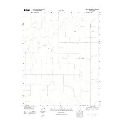
2012 Map of Frisco Creek East
USGS Topo · Published 2012About this map
Frisco Cr meanders through the high plains of the Panhandle, defining the drainage patterns of this sparsely settled borderland where Texas County, Oklahoma, meets the Texas state line. The landscape is organized by a rigid grid of rural thoroughfares, including Co Road B, Co Road E, and Co Road F, which facilitate movement between isolated ranching outposts. This 2012 survey illustrates the modern agricultural footprint of the region, where the vastness is broken only by the thin ribbons of Coldwater Cr and a network of arterial routes like Ranch Road 1262. For researchers, the map provides precise locations for livestock infrastructure and rural property access points that define the late-20th and early-21st-century cattle and farming economy of the Great Plains.
Find a feature on this map
14 named features on this map. Tap any name to fly to it.
Don’t see what you’re looking for? This feature index may not catch every label — zoom into the map to look around manually.
Map Details
Editions of this 2012 Frisco Creek East Map
This is the sole edition of this map. No revisions or reprints were ever made.
Other maps of this area

1954 · Perryton
USGS Topo · 1:250,000

1958 · Perryton
USGS Topo · 1:250,000

1968 · Guymon SW
USGS Topo · 1:24,000

1973 · Goodwell SE
USGS Topo · 1:24,000

1973 · Goodwell
USGS Topo · 1:24,000

1973 · Gruver
USGS Topo · 1:24,000

1974 · Sunray 1 NW
USGS Topo · 1:24,000

1974 · Sunray 1 SW
USGS Topo · 1:24,000

1974 · Sunray 1 SE
USGS Topo · 1:24,000

1974 · Sunray 1 NE
USGS Topo · 1:24,000