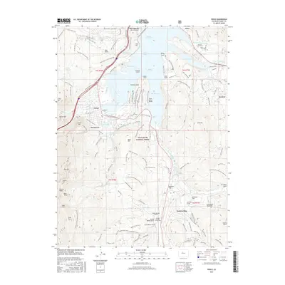
2016 Map of Frisco
USGS Topo · Published 2016About this map
Dillon Reservoir serves as the central focal point of this Summit County landscape, where the waters of the Blue River and Snake River Arm meet. The map reveals the intricate shoreline of the reservoir, including islands like Sentinel Island and Silver Dollar Island, and the modern footprints of Silverthorne, Dillon, and Frisco. Evidence of the region’s massive water-diversion infrastructure is clear with the Harold D Roberts Tunnel and the smaller Old Dillon Reservoir.
Find a feature on this map
128 named features on this map. Tap any name to fly to it.
Don’t see what you’re looking for? This feature index may not catch every label — zoom into the map to look around manually.
Map Details
Editions of this 2016 Frisco Map
This is the sole edition of this map. No revisions or reprints were ever made.
Other maps of this area

1889 · Leadville
USGS Topo · 1:125,000

1891 · Leadville
USGS Topo · 1:125,000

1924 · Montezuma
USGS Topo · 1:62,500

1926 · Montezuma
USGS Topo · 1:62,500

1929 · Dillon
USGS Topo · 1:62,500

1933 · Montezuma
USGS Topo · 1:62,500

1934 · Climax
USGS Topo · 1:48,000

1934 · Dillon
USGS Topo · 1:62,500

1937 · Como
USGS Topo · 1:62,500

1938 · Mt. Lincoln
USGS Topo · 1:48,000