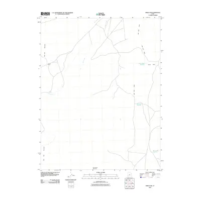
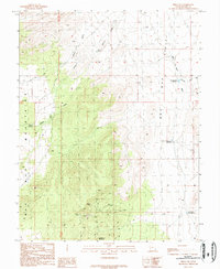
2010 Map of Frisco SW
USGS Topo · Published 2010About this map
The Wah Wah Valley and the eastern slopes of the Wah Wah Mountains define this high-desert region of Beaver County. Water management is central to the land's utility, evidenced by the strategic placement of the Grover Wash Reservoir, Brimstone Reservoir, and Miners Hill Reservoir across the arid basin. These features, along with intermittent drainages like Quartz Creek and Willow Creek, illustrate the precarious balance of ranching in a landscape dominated by dry washes.
Find a feature on this map
12 named features on this map. Tap any name to fly to it.
Don’t see what you’re looking for? This feature index may not catch every label — zoom into the map to look around manually.
Map Details
Editions of this 2010 Frisco SW Map
This is the sole edition of this map. No revisions or reprints were ever made.
Other maps of this area

1953 · Richfield
USGS Topo · 1:250,000

1958 · Richfield
USGS Topo · 1:250,000

1959 · Frisco
USGS Topo · 1:62,500

1971 · Sewing Machine Pass
USGS Topo · 1:24,000
1971 · Burns Knoll
USGS Topo · 1:24,000
1971 · Blue Mountain
USGS Topo · 1:24,000
1971 · The Tetons
USGS Topo · 1:24,000

1971 · Lamerdorf Peak
USGS Topo · 1:24,000

1980 · Wah Wah Mts. South
USGS Topo · 1:100,000
1989 · Frisco SW
USGS Topo · 1:24,000