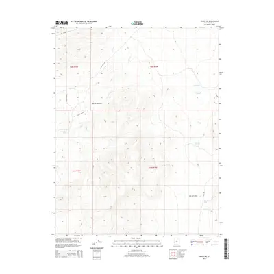
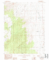
2014 Map of Frisco SW
USGS Topo · Published 2014About this map
The Wah Wah Mountains dominate this high-desert landscape in Beaver County, Utah, providing a stark topographical contrast to the broad expanse of the Wah Wah Valley to the east. This area is characterized by its vital water management infrastructure, essential for ranching and survival in the Great Basin. Named features like Brimstone Reservoir, Grover Wash Reservoir, and Miners Hill Reservoir mark the catchment points for seasonal runoff from the peaks. The map also delineates the high-elevation Revenue Basin in the northwest, where drainage systems like Quartz Cr begin their descent. Access to this remote rangeland is traced via rugged corridors such as Baudino Ranch Rd and Willow Creek Rd, which follow the natural contours of the slopes and the path of Willow Cr.
Find a feature on this map
17 named features on this map. Tap any name to fly to it.
Don’t see what you’re looking for? This feature index may not catch every label — zoom into the map to look around manually.
Map Details
Editions of this 2014 Frisco SW Map
This is the sole edition of this map. No revisions or reprints were ever made.
Other maps of this area

1953 · Richfield
USGS Topo · 1:250,000

1958 · Richfield
USGS Topo · 1:250,000

1959 · Frisco
USGS Topo · 1:62,500

1971 · Sewing Machine Pass
USGS Topo · 1:24,000
1971 · Burns Knoll
USGS Topo · 1:24,000
1971 · Blue Mountain
USGS Topo · 1:24,000
1971 · The Tetons
USGS Topo · 1:24,000

1971 · Lamerdorf Peak
USGS Topo · 1:24,000

1980 · Wah Wah Mts. South
USGS Topo · 1:100,000
1989 · Frisco SW
USGS Topo · 1:24,000