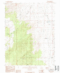
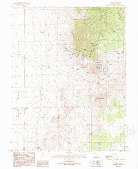
1989 Map of Frisco SW
USGS Topo · Published 1989About this map
Bumblebee Mountain dominates the southwestern portion of this desert landscape, where the Wah Wah Mountains meet the wide drainage of the Wah Wah Valley. The map reveals a history of resource extraction, centered around numerous prospects and several Open Pit Mines located in the southern foothills. Water management is critical in this arid environment, evidenced by an Aqueduct crossing Quartz Creek and a network of livestock or industrial catchments including Grover Wash Reservoir and Brimstone Reservoir. To the east, Miners Hill and its associated Miners Hill Reservoir sit near the edge of the valley floor. Isolated improvements like a Water Tank and a Corral emphasize the range-land character of the area, while Willow Spring provides a rare natural water source tucked into the western slopes.
Find a feature on this map
21 named features on this map. Tap any name to fly to it.
Don’t see what you’re looking for? This feature index may not catch every label — zoom into the map to look around manually.
Map Details
Editions of this 1989 Frisco SW Map
This is the sole edition of this map. No revisions or reprints were ever made.
Other maps of this area

1953 · Richfield
USGS Topo · 1:250,000

1958 · Richfield
USGS Topo · 1:250,000

1959 · Frisco
USGS Topo · 1:62,500

1971 · Sewing Machine Pass
USGS Topo · 1:24,000
1971 · Burns Knoll
USGS Topo · 1:24,000
1971 · Blue Mountain
USGS Topo · 1:24,000
1971 · The Tetons
USGS Topo · 1:24,000

1971 · Lamerdorf Peak
USGS Topo · 1:24,000

1980 · Wah Wah Mts. South
USGS Topo · 1:100,000
1989 · Frisco
USGS Topo · 1:24,000