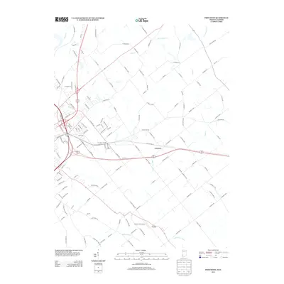
2013 Map of Fritchton
USGS Topo · Published 2013About this map
Fritchton and Verne anchor this agricultural landscape east of Vincennes, where a complex network of waterways and drainage ditches shapes the terrain. The hydrological patterns are dominated by the Upper River Deshee and its tributaries, alongside managed water courses like Williams Ditch. This 2013 survey illustrates the intersection of rural life and aviation with the presence of Marchino Field Airport, situated south of the main settlements. The map details a transition from the structured street grids of established communities to a sprawling web of country roads, including N Purdue Rd and N Coon Hunter Rd. Creeks such as Snapp Cr and Pond Cr weave through the farm plots, indicating the natural drainage systems that define this portion of Knox County. For those tracing the evolution of Indiana's rural townships, the map records the enduring placement of crossroad communities and the sophisticated road network that supports the local agricultural economy.
Find a feature on this map
133 named features on this map. Tap any name to fly to it.
Don’t see what you’re looking for? This feature index may not catch every label — zoom into the map to look around manually.
Map Details
Editions of this 2013 Fritchton Map
This is the sole edition of this map. No revisions or reprints were ever made.
Other maps of this area

1915 · Vincennes
USGS Topo · 1:62,500

1917 · Birds
USGS Topo · 1:62,500

1942 · Fritchton
USGS Topo · 1:24,000

1942 · Birds
USGS Topo · 1:62,500

1943 · Oaktown
USGS Topo · 1:24,000

1943 · Bicknell
USGS Topo · 1:24,000

1944 · Fritchton
USGS Topo · 1:24,000

1944 · Monroe City
USGS Topo · 1:24,000

1944 · Wheatland
USGS Topo · 1:24,000

1944 · Iona
USGS Topo · 1:24,000