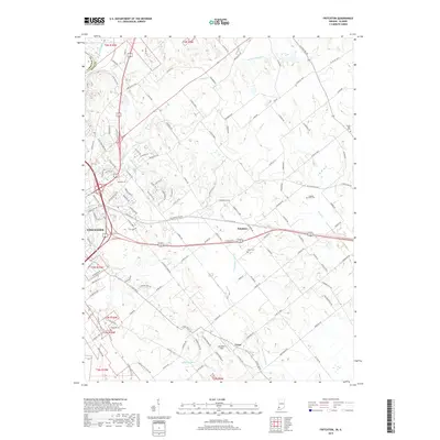
2019 Map of Fritchton
USGS Topo · Published 2019About this map
The small settlements of Fritchton and Verne anchor this Knox County landscape just east of the historic city of Vincennes. The area is defined by a dense network of county roads and drainage systems like the Upper River Deshee and Williams Ditch, which support the agricultural character of the region. Local history is preserved through several family and community burial grounds, including the Langton - Root Cem and the Royal Oak Cem located near the eastern edge of the quadrangle.
Find a feature on this map
122 named features on this map. Tap any name to fly to it.
Don’t see what you’re looking for? This feature index may not catch every label — zoom into the map to look around manually.
Map Details
Editions of this 2019 Fritchton Map
This is the sole edition of this map. No revisions or reprints were ever made.
Other maps of this area

1915 · Vincennes
USGS Topo · 1:62,500

1917 · Birds
USGS Topo · 1:62,500

1942 · Fritchton
USGS Topo · 1:24,000

1942 · Birds
USGS Topo · 1:62,500

1943 · Oaktown
USGS Topo · 1:24,000

1943 · Bicknell
USGS Topo · 1:24,000

1944 · Fritchton
USGS Topo · 1:24,000

1944 · Monroe City
USGS Topo · 1:24,000

1944 · Wheatland
USGS Topo · 1:24,000

1944 · Iona
USGS Topo · 1:24,000