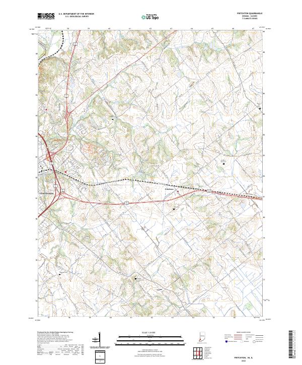
2022 Map of Fritchton
USGS Topo · Published 2022About this map
Fritchton and Verne occupy a landscape of agricultural tradition and historical burials east of the Wabash River. This Knox County terrain is defined by a dense network of country roads and drainage patterns, where watercourses like Snapp Cr and Scott Cr carve through the tillable land. The map reveals a high concentration of local burial sites, providing significant data for genealogical research. Sites such as the Indiana Presbyterian Cem, Upper Indiana Cem, and Langton-Root Cem are anchored along these rural corridors. To the west, the outskirts of Vincennes begin to encroach on the rural character, while the southern reach is marked by the winding path of Upper River Deshee and engineered waterways like Williams Ditch. This document serves as a precise record of the contemporary parcel divisions and infrastructure connecting these long-standing Indiana communities.
Find a feature on this map
130 named features on this map. Tap any name to fly to it.
Don’t see what you’re looking for? This feature index may not catch every label — zoom into the map to look around manually.
Map Details
Editions of this 2022 Fritchton Map
This is the sole edition of this map. No revisions or reprints were ever made.
Other maps of this area

1915 · Vincennes
USGS Topo · 1:62,500

1917 · Birds
USGS Topo · 1:62,500

1942 · Fritchton
USGS Topo · 1:24,000

1942 · Birds
USGS Topo · 1:62,500

1943 · Oaktown
USGS Topo · 1:24,000

1943 · Bicknell
USGS Topo · 1:24,000

1944 · Fritchton
USGS Topo · 1:24,000

1944 · Monroe City
USGS Topo · 1:24,000

1944 · Wheatland
USGS Topo · 1:24,000

1944 · Iona
USGS Topo · 1:24,000