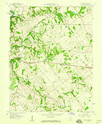
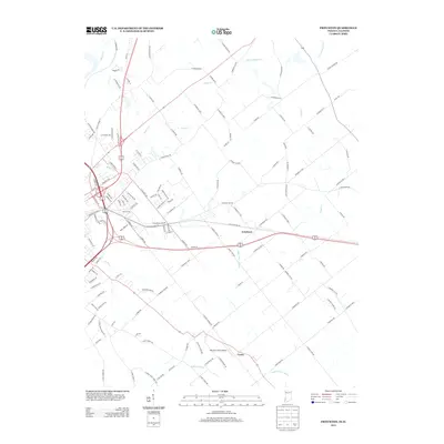
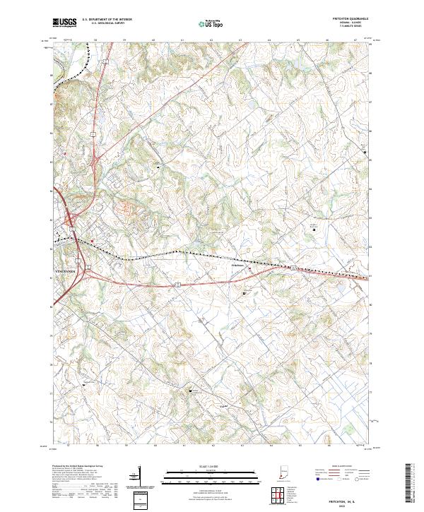
1944 Map of Fritchton
USGS Topo · Published 1944About this map
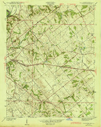
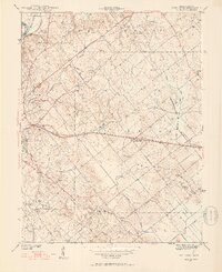
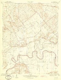
Vincennes and the surrounding agricultural townships of Washington, Palmyra, and Harrison define this mid-1940s landscape in Knox County. The rural character is punctuated by institutional landmarks on the eastern edge of the city, including the St Vincent Orphanage, Hillcrest Hospital, and the County Farm. Settlement patterns follow the established rail lines, with Fritchton serving as a central hub along the Baltimore and Ohio railroad.
Find a feature on this map
32 named features on this map. Tap any name to fly to it.
Don’t see what you’re looking for? This feature index may not catch every label — zoom into the map to look around manually.
Map Details
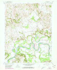
Editions of this 1944 Fritchton Map
2 editions found
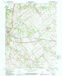
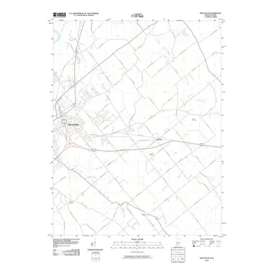
Historical Maps of Vincennes Through Time
16 maps found
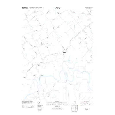
1942 Fritchton
Knox County, IN
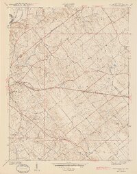
1944 Fritchton
Knox County, IN
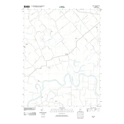
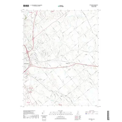
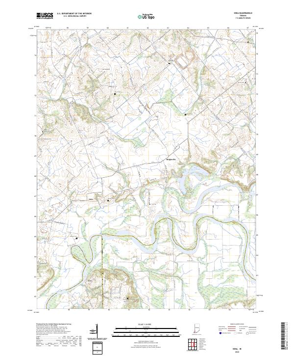
1944 Iona
Knox County, IN
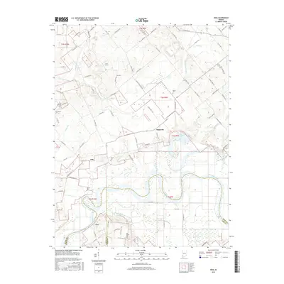
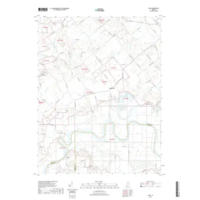
1958 Fritchton
Knox County, IN
1958 Iona
Knox County, IN
1974 Fritchton
Knox County, IN
2010 Fritchton
Knox County, IN
2010 Iona
Knox County, IN
2013 Fritchton
Knox County, IN
2013 Iona
Knox County, IN
2016 Fritchton
Knox County, IN
2016 Iona
Knox County, IN
2019 Fritchton
Knox County, IN
2019 Iona
Knox County, IN
2022 Fritchton
Knox County, IN
2022 Iona
Knox County, IN