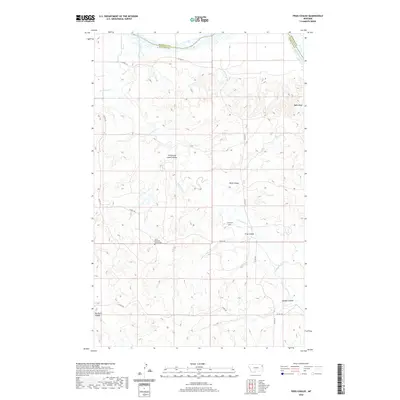
2020 Map of Frog Coulee
USGS Topo · Published 2020About this map
The Missouri River carves the northern boundary of this landscape, marking the border between Roosevelt County and Richland County. The terrain is defined by a dense network of coulees and bluffs, including the distinctively named Promised Land Coulee and Balls Bluff. This area, primarily characterized by open ranchland and high plains drainage, is segmented by numerous seasonal watercourses such as Charlie Creek, which splits into several named branches including West Charlie Creek and East Charlie Creek.
Find a feature on this map
19 named features on this map. Tap any name to fly to it.
Don’t see what you’re looking for? This feature index may not catch every label — zoom into the map to look around manually.
Map Details
Editions of this 2020 Frog Coulee Map
This is the sole edition of this map. No revisions or reprints were ever made.
Other maps of this area

1909 · Glendive
USGS Topo · 1:250,000

1914 · Brockton
USGS Topo · 1:62,500

1948 · Fort Kipp
USGS Topo · 1:24,000

1949 · Fort Kipp
USGS Topo · 1:24,000

1950 · Calais
USGS Topo · 1:24,000

1954 · Glendive
USGS Topo · 1:250,000

1954 · Wolf Point
USGS Topo · 1:250,000

1957 · Glendive
USGS Topo · 1:250,000

1958 · Wolf Point
USGS Topo · 1:250,000

1958 · Glendive
USGS Topo · 1:250,000