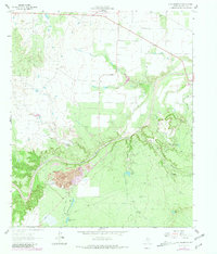
1962 Map of Frog Mountain
USGS Topo · Published 1981About this map
The Double Mountain Fork Brazos River winds through this West Texas landscape, cutting a deep path through the scrub and limestone of Stonewall County. This 1962 topography, updated in 1981, reveals an area defined by its hydrology and mineral extraction, centered on the Letz Oil Field and various Gravel Pits. Local history and genealogy are anchored by the Rayner Cem and Old Glory Cem, which sit near the northern edge of the sheet. The terrain transitions from the stark heights of Frog Mountain and Flat Top to the rugged wash of Devils Canyon. Ranching infrastructure is evident through named water catchments like Alkali Tank and the ranch Headquarters located in the southern section of the quadrangle.
Find a feature on this map
22 named features on this map. Tap any name to fly to it.
Don’t see what you’re looking for? This feature index may not catch every label — zoom into the map to look around manually.
Map Details
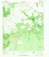
Editions of this 1962 Frog Mountain Map
2 editions found
Other maps of this area

1891 · Anson
USGS Topo · 1:125,000

1893 · Roby
USGS Topo · 1:125,000

1893 · Anson
USGS Topo · 1:125,000

1925 · Aspermont 4-a
USGS Topo · 1:48,000

1925 · Haskell 3-b
USGS Topo · 1:48,000

1931 · Aspermont
USGS Topo · 1:62,500

1954 · Lubbock
USGS Topo · 1:250,000

1954 · Big Spring
USGS Topo · 1:250,000

1954 · Abilene
USGS Topo · 1:250,000

1954 · Wichita Falls
USGS Topo · 1:250,000