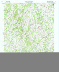
1981 Map of Frog Pond
USGS Topo · Published 1992About this map
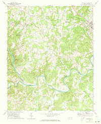
Frog Pond and the surrounding Stanly County countryside are defined by a network of rural crossroads and community landmarks during the late 1970s and early 1980s. The landscape is deeply tied to its spiritual and educational hubs, featuring St Martin Ch, Bear Creek Ch, and New Life Ch, alongside the West Stanly High Sch near Red Cross. The terrain is characterized by the winding paths of Big Bear Creek and Little Bear Creek, which drain the rolling topography toward the southeast.
Find a feature on this map
27 named features on this map. Tap any name to fly to it.
Don’t see what you’re looking for? This feature index may not catch every label — zoom into the map to look around manually.
Map Details
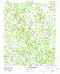
Editions of this 1981 Frog Pond Map
2 editions found
Other maps of this area

1953 · Charlotte
USGS Topo · 1:250,000

1954 · Charlotte
USGS Topo · 1:250,000

1957 · Mount Pleasant
USGS Topo · 1:62,500

1957 · Albemarle
USGS Topo · 1:62,500

1960 · Charlotte
USGS Topo · 1:250,000

1962 · Charlotte
USGS Topo · 1:250,000
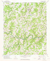
1971 · Stanfield
USGS Topo · 1:24,000
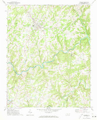
1971 · Oakboro
USGS Topo · 1:24,000
1971 · Aquadale
USGS Topo · 1:24,000

1977 · Albemarle SW
USGS Topo · 1:24,000