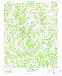
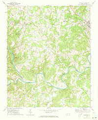
1981 Map of Frog Pond
USGS Topo · Published 1981About this map
Frog Pond and Red Cross anchor this rural landscape in western Stanly County, where a network of family-named settlements and country parishes defines the community structure. The terrain is deeply etched by the winding courses of Big Bear Creek and Little Bear Creek, which converge amidst a high concentration of institutional landmarks including West Stanly High Sch and Ridgecrest Sch.
Find a feature on this map
51 named features on this map. Tap any name to fly to it.
Don’t see what you’re looking for? This feature index may not catch every label — zoom into the map to look around manually.
Map Details
Editions of this 1981 Frog Pond Map
2 editions found
Other maps of this area

1953 · Charlotte
USGS Topo · 1:250,000

1954 · Charlotte
USGS Topo · 1:250,000

1957 · Mount Pleasant
USGS Topo · 1:62,500

1957 · Albemarle
USGS Topo · 1:62,500

1960 · Charlotte
USGS Topo · 1:250,000

1962 · Charlotte
USGS Topo · 1:250,000
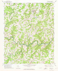
1971 · Stanfield
USGS Topo · 1:24,000
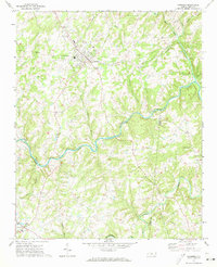
1971 · Oakboro
USGS Topo · 1:24,000
1971 · Aquadale
USGS Topo · 1:24,000

1977 · Albemarle SW
USGS Topo · 1:24,000