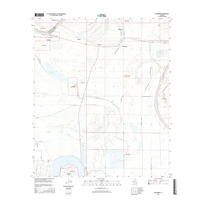
2015 Map of Frogmore
USGS Topo · Published 2015About this map
Cocodrie Lake and its surrounding wetlands define the southern reaches of this landscape, where the meandering course of Bayou Cocodrie meets Horse Shoe Island. This deltaic environment is heavily marked by its water-driven history, shown through a complex network of bayous including Madkin Bayou, Ross Bayou, and Float Bayou. Small settlements like Frogmore, Athlone, and Stacy are dispersed throughout the region, often tied to agricultural and plantation-related history as suggested by the Frogmore Plantation Rd.
Find a feature on this map
58 named features on this map. Tap any name to fly to it.
Don’t see what you’re looking for? This feature index may not catch every label — zoom into the map to look around manually.
Map Details
Editions of this 2015 Frogmore Map
This is the sole edition of this map. No revisions or reprints were ever made.
Other maps of this area

1909 · Sycamore Landing
USGS Topo · 1:24,000

1935 · Tooleys
USGS Topo · 1:62,500

1939 · Red Gum
USGS Topo · 1:62,500

1939 · Deer Park
USGS Topo · 1:62,500

1941 · Manifest
USGS Topo · 1:62,500

1941 · Tooleys
USGS Topo · 1:62,500

1953 · Natchez
USGS Topo · 1:250,000

1956 · Natchez
USGS Topo · 1:250,000

1959 · Natchez
USGS Topo · 1:250,000

1960 · Jonesville
USGS Topo · 1:62,500