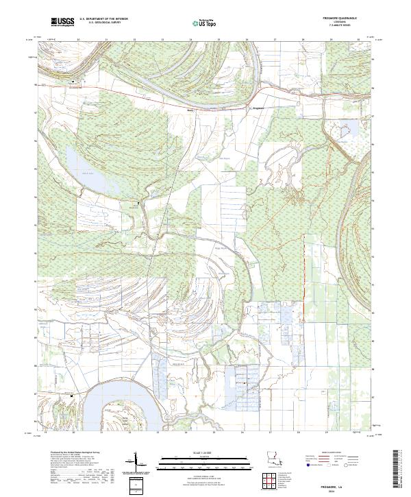
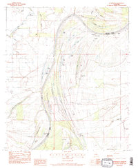
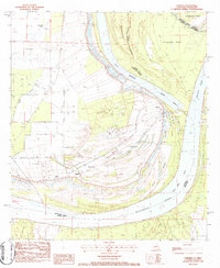
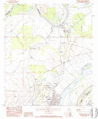
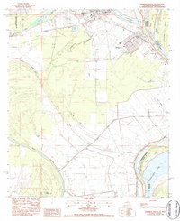
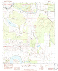
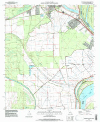
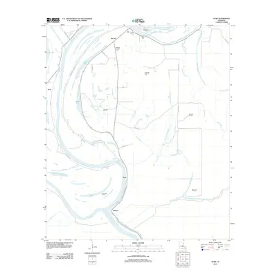
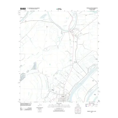
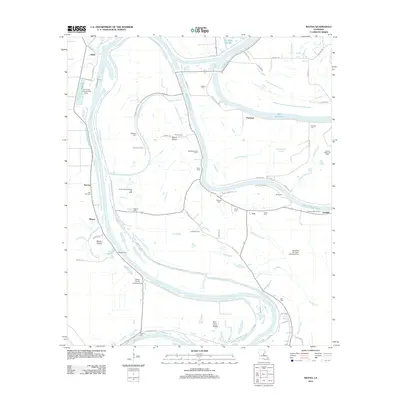
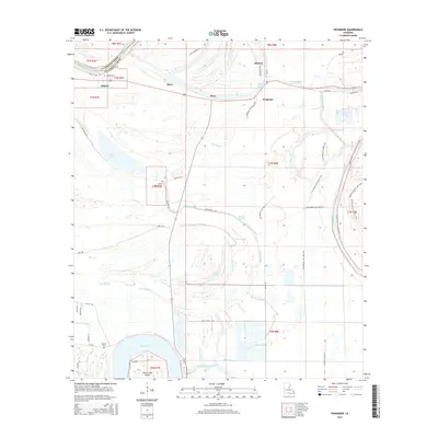
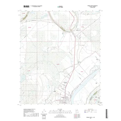
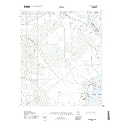
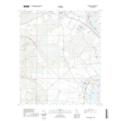
2024 Map of Frogmore
USGS Topo · Published 2024About this map
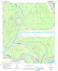
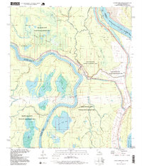
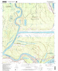
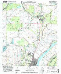
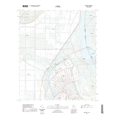
The Bayou Cocodrie National Wildlife Refuge dominates the eastern half of this Concordia Parish landscape, protecting a dense network of water bodies such as Boggy Bayou and Float Bayou. Near the northern border, the Tensas River carves the boundary between Catahoula and Concordia, while the small settlements of Stacy and Frogmore sit along Louisiana Ave. The terrain is characterized by an intricate system of swampy brakes and bayous, including the notable Glasscock Brake and Ross Brake, which reflect the alluvial nature of this Mississippi River floodplain region.
Find a feature on this map
53 named features on this map. Tap any name to fly to it.
Don’t see what you’re looking for? This feature index may not catch every label — zoom into the map to look around manually.
Map Details
Editions of this 2024 Frogmore Map
This is the sole edition of this map. No revisions or reprints were ever made.
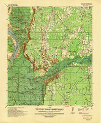
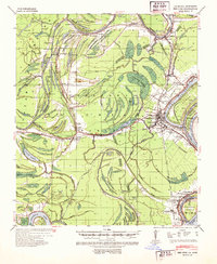
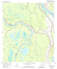
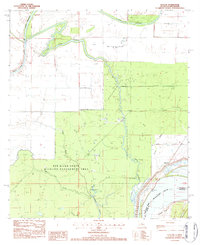
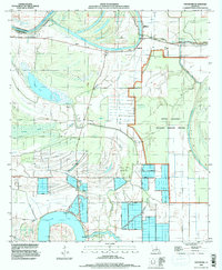
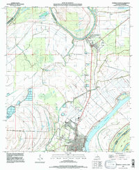
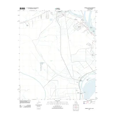
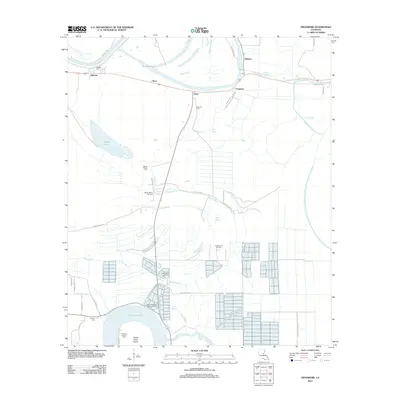
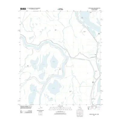
Historical Maps of Stacy Through Time
79 maps found

1909 Sycamore Landing
Concordia Parish, LA

1939 Artonish
Concordia Parish, LA

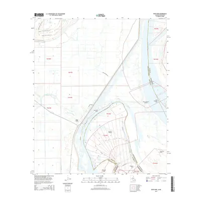
1939 Deer Park
Concordia Parish, LA
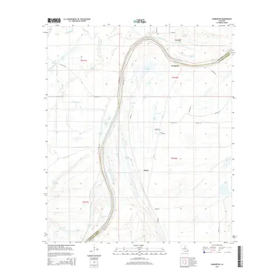
1939 Kingston
Concordia Parish, LA
1939 Red Gum
Concordia Parish, LA

1954 Artonish
Concordia Parish, LA

1955 Artonish
Concordia Parish, LA
1965 Lower Sunk Lake
Concordia Parish, LA
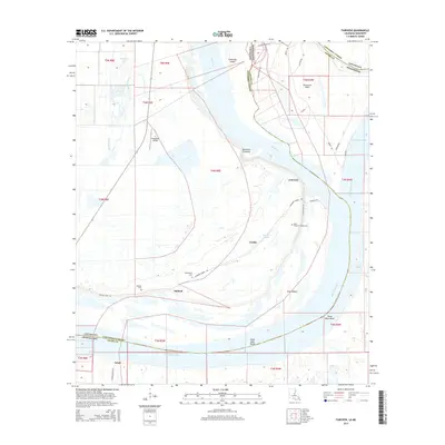
1965 Turnbull Island
Concordia Parish, LA
1982 Acme
Concordia Parish, LA
1982 Mayna
Concordia Parish, LA
1983 Deer Park
Concordia Parish, LA
1983 Dunbarton
Concordia Parish, LA
1983 Fairview
Concordia Parish, LA
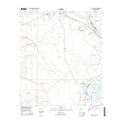
1983 Ferriday North
Concordia Parish, LA
1983 Ferriday South
Concordia Parish, LA
1983 Frogmore
Concordia Parish, LA
1983 Slocum
Concordia Parish, LA
1994 Frogmore
Concordia Parish, LA
1995 Ferriday North
Concordia Parish, LA
1995 Ferriday South
Concordia Parish, LA
1996 Lower Sunk Lake
Concordia Parish, LA
1996 Turnbull Island
Concordia Parish, LA
1999 Ferriday North
Concordia Parish, LA
2012 Acme
Concordia Parish, LA
2012 Deer Park
Concordia Parish, LA
2012 Dunbarton
Concordia Parish, LA
2012 Fairview
Concordia Parish, LA
2012 Ferriday North
Concordia Parish, LA
2012 Ferriday South
Concordia Parish, LA
2012 Frogmore
Concordia Parish, LA
2012 Lower Sunk Lake
Concordia Parish, LA
2012 Mayna
Concordia Parish, LA
2012 Slocum
Concordia Parish, LA
2012 Turnbull Island
Concordia Parish, LA
2015 Acme
Concordia Parish, LA
2015 Deer Park
Concordia Parish, LA
2015 Dunbarton
Concordia Parish, LA
2015 Fairview
Concordia Parish, LA

2015 Ferriday North
Concordia Parish, LA
2015 Ferriday South
Concordia Parish, LA
2015 Frogmore
Concordia Parish, LA
2015 Lower Sunk Lake
Concordia Parish, LA
2015 Mayna
Concordia Parish, LA
2015 Slocum
Concordia Parish, LA

2015 Turnbull Island
Concordia Parish, LA
2018 Acme
Concordia Parish, LA
2018 Deer Park
Concordia Parish, LA
2018 Dunbarton
Concordia Parish, LA
2018 Fairview
Concordia Parish, LA
2018 Ferriday North
Concordia Parish, LA
2018 Ferriday South
Concordia Parish, LA
2018 Frogmore
Concordia Parish, LA
2018 Lower Sunk Lake
Concordia Parish, LA
2018 Mayna
Concordia Parish, LA
2018 Slocum
Concordia Parish, LA
2018 Turnbull Island
Concordia Parish, LA
2020 Acme
Concordia Parish, LA
2020 Deer Park
Concordia Parish, LA
2020 Dunbarton
Concordia Parish, LA
2020 Fairview
Concordia Parish, LA
2020 Ferriday North
Concordia Parish, LA
2020 Ferriday South
Concordia Parish, LA
2020 Frogmore
Concordia Parish, LA
2020 Lower Sunk Lake
Concordia Parish, LA
2020 Mayna
Concordia Parish, LA
2020 Slocum
Concordia Parish, LA

2020 Turnbull Island
Concordia Parish, LA
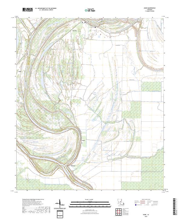
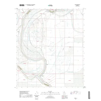
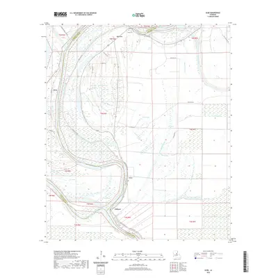
2024 Acme
Concordia Parish, LA
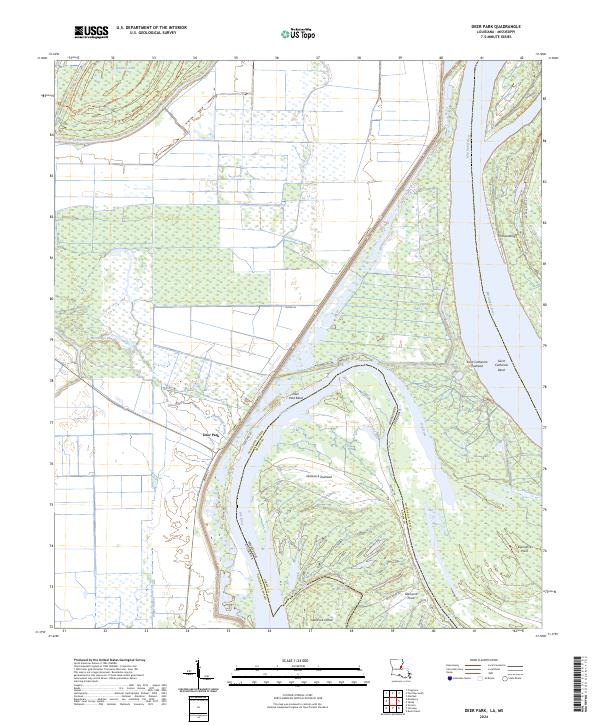
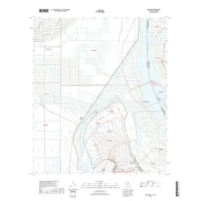
2024 Deer Park
Concordia Parish, LA
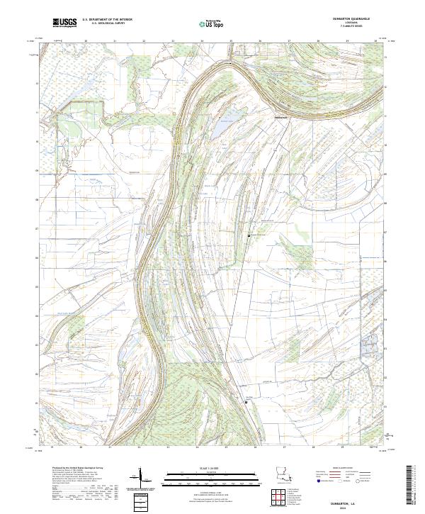
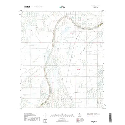
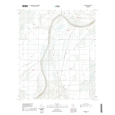
2024 Dunbarton
Concordia Parish, LA
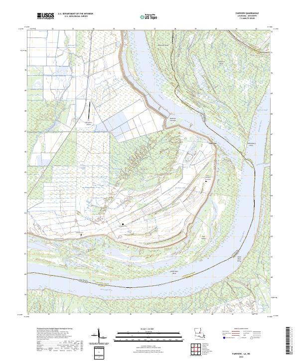
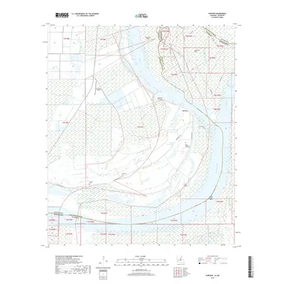
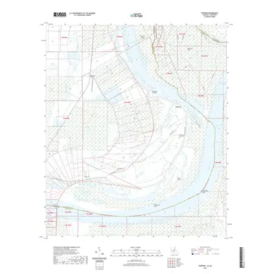
2024 Fairview
Concordia Parish, LA
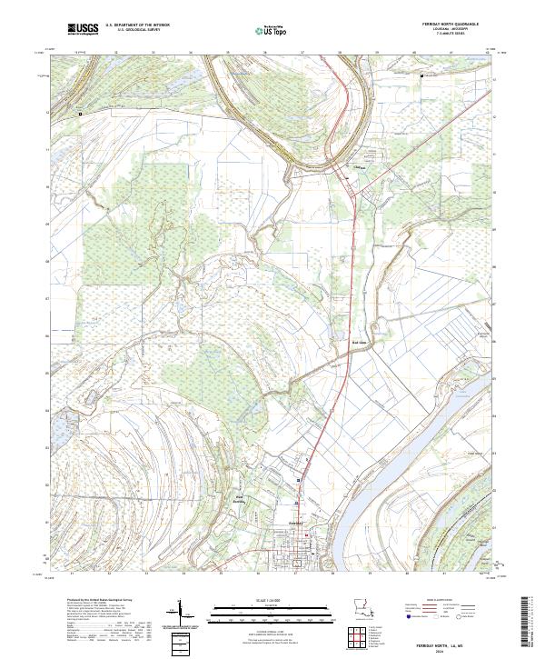
2024 Ferriday North
Concordia Parish, LA
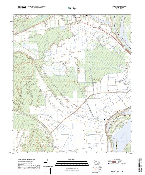
2024 Ferriday South
Concordia Parish, LA
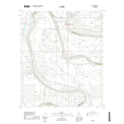
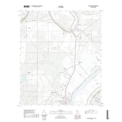
2024 Frogmore
Concordia Parish, LA
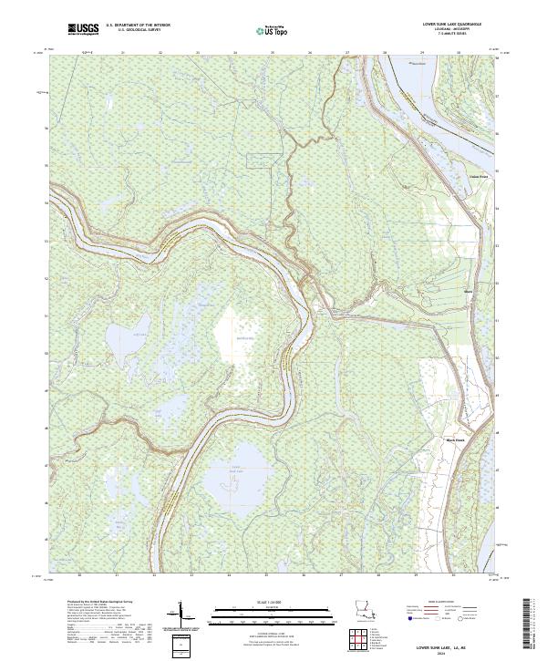
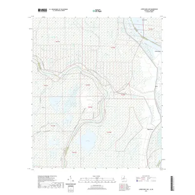
2024 Lower Sunk Lake
Concordia Parish, LA
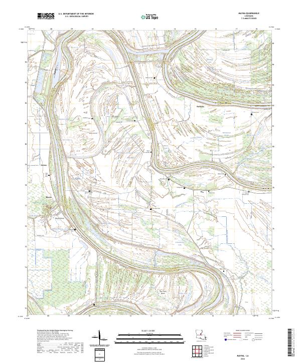
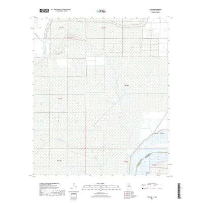
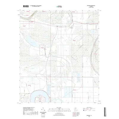
2024 Mayna
Concordia Parish, LA
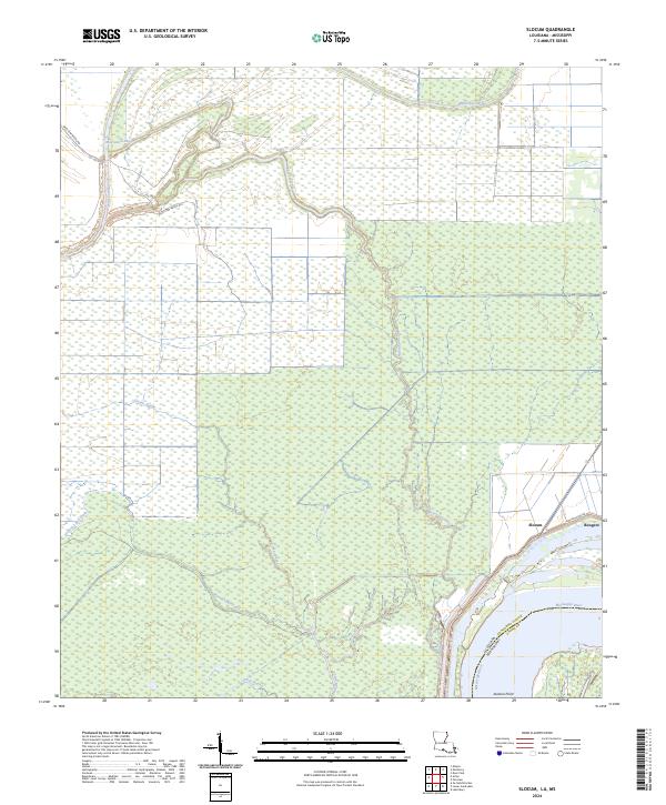
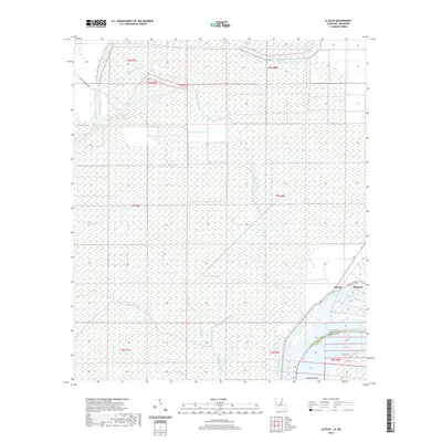
2024 Slocum
Concordia Parish, LA
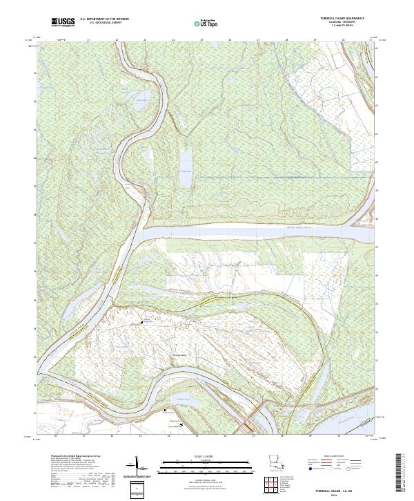
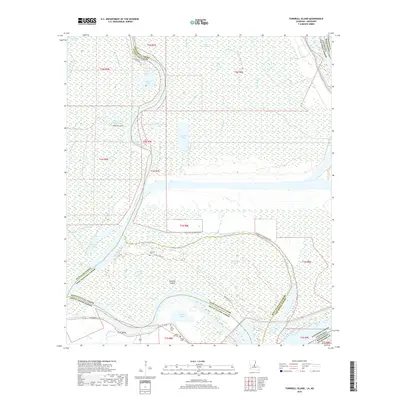
2024 Turnbull Island
Concordia Parish, LA