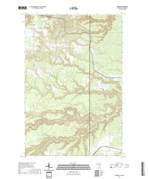
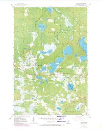
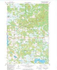
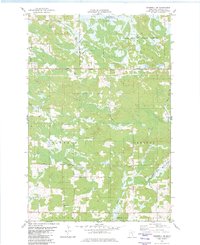
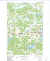
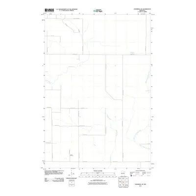
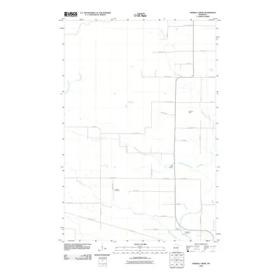
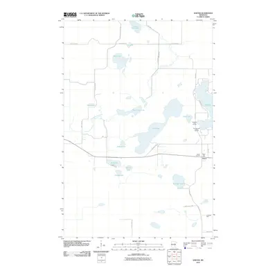
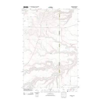
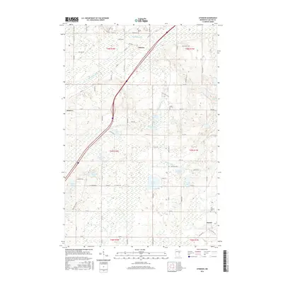
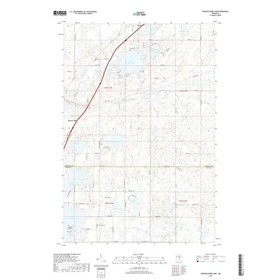
2022 Map of Frogner
USGS Topo · Published 2022About this map
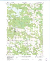
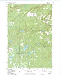
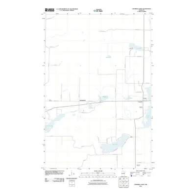
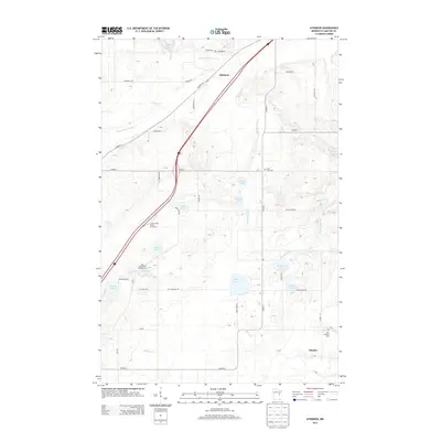
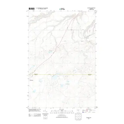
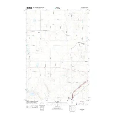
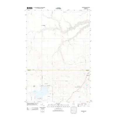
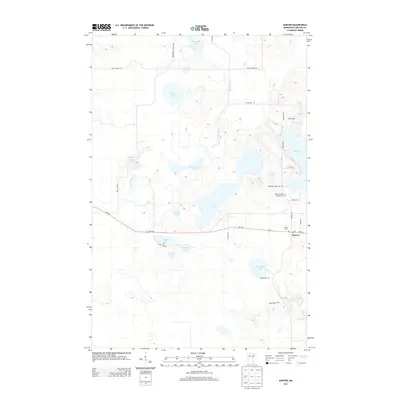
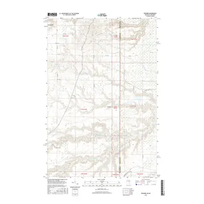
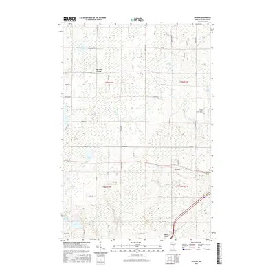
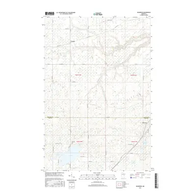
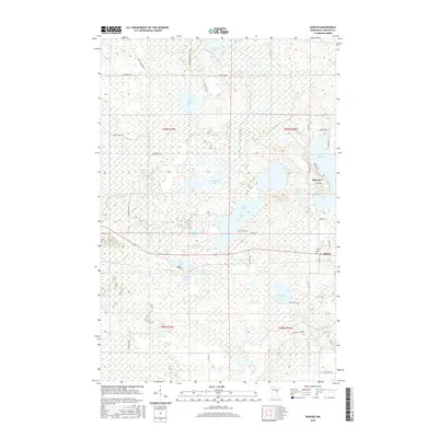
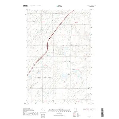
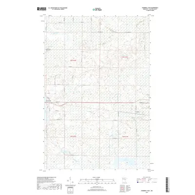
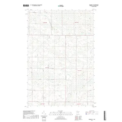
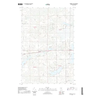
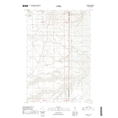
Wrenshall sits at the northern edge of this landscape where the Minnesota and Wisconsin border meets the Carlton and Douglas county lines. This terrain is defined by a dense network of waterways, including the winding Nemadji River and its various branches like the South Fork Nemadji River and Net River. The map captures a region where former rail corridors have been repurposed for modern recreation, most notably the Soo Line South: Carlton Trl passing through the small settlement of Frogner. These trails, along with the Alex Laveau Memorial State Trl, trace the historical paths of commerce that once linked these border timberlands. The convergence of numerous creeks, such as Section Thirty-six Cr and State Line Cr, illustrates the complex drainage system feeding into the larger river basins that characterize this rural interstate boundary.
Find a feature on this map
43 named features on this map. Tap any name to fly to it.
Don’t see what you’re looking for? This feature index may not catch every label — zoom into the map to look around manually.
Map Details
Editions of this 2022 Frogner Map
This is the sole edition of this map. No revisions or reprints were ever made.
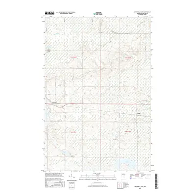
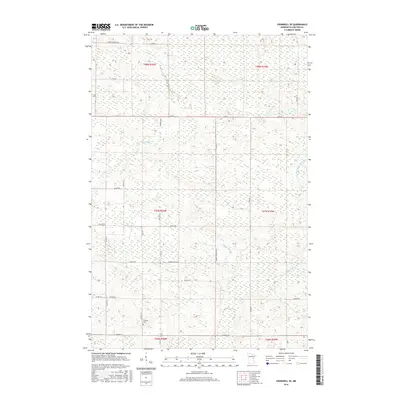
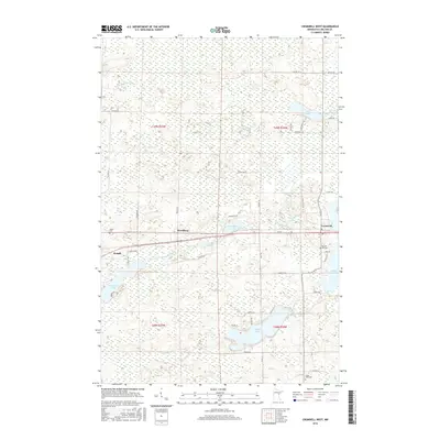
Historical Maps of Wrenshall Through Time
66 maps found
1954 Atkinson
Carlton County, MN
1954 Frogner
Carlton County, MN
1954 Iverson
Carlton County, MN
1954 Sawyer
Carlton County, MN

1981 Hanging Horn Lake
Carlton County, MN

1981 Nickerson
Carlton County, MN
1982 Cromwell East
Carlton County, MN
1982 Cromwell SE
Carlton County, MN
1982 Cromwell West
Carlton County, MN
1982 Heikkila Creek
Carlton County, MN
1983 Holyoke
Carlton County, MN
2010 Atkinson
Carlton County, MN
2010 Cromwell East
Carlton County, MN
2010 Cromwell SE
Carlton County, MN
2010 Cromwell West
Carlton County, MN
2010 Frogner
Carlton County, MN
2010 Hanging Horn Lake
Carlton County, MN
2010 Heikkila Creek
Carlton County, MN
2010 Holyoke
Carlton County, MN
2010 Iverson
Carlton County, MN
2010 Nickerson
Carlton County, MN
2010 Sawyer
Carlton County, MN
2013 Atkinson
Carlton County, MN
2013 Cromwell East
Carlton County, MN
2013 Cromwell SE
Carlton County, MN
2013 Cromwell West
Carlton County, MN
2013 Frogner
Carlton County, MN
2013 Hanging Horn Lake
Carlton County, MN
2013 Heikkila Creek
Carlton County, MN
2013 Holyoke
Carlton County, MN
2013 Iverson
Carlton County, MN
2013 Nickerson
Carlton County, MN
2013 Sawyer
Carlton County, MN
2016 Atkinson
Carlton County, MN
2016 Cromwell East
Carlton County, MN
2016 Cromwell SE
Carlton County, MN
2016 Cromwell West
Carlton County, MN
2016 Frogner
Carlton County, MN
2016 Hanging Horn Lake
Carlton County, MN
2016 Heikkila Creek
Carlton County, MN
2016 Holyoke
Carlton County, MN
2016 Iverson
Carlton County, MN
2016 Nickerson
Carlton County, MN
2016 Sawyer
Carlton County, MN
2019 Atkinson
Carlton County, MN
2019 Cromwell East
Carlton County, MN
2019 Cromwell SE
Carlton County, MN
2019 Cromwell West
Carlton County, MN
2019 Frogner
Carlton County, MN
2019 Hanging Horn Lake
Carlton County, MN
2019 Heikkila Creek
Carlton County, MN
2019 Holyoke
Carlton County, MN
2019 Iverson
Carlton County, MN
2019 Nickerson
Carlton County, MN
2019 Sawyer
Carlton County, MN
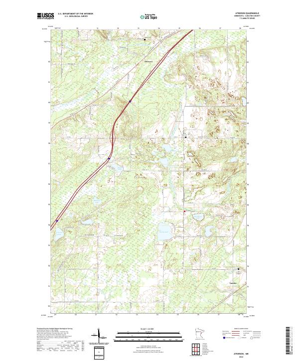
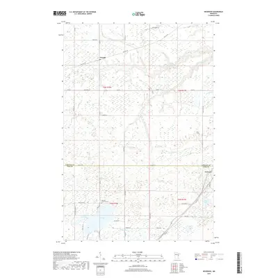
2022 Atkinson
Carlton County, MN
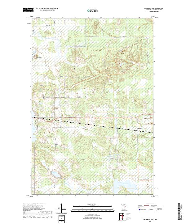
2022 Cromwell East
Carlton County, MN
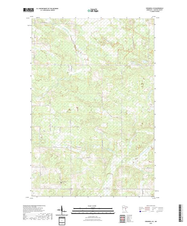
2022 Cromwell SE
Carlton County, MN
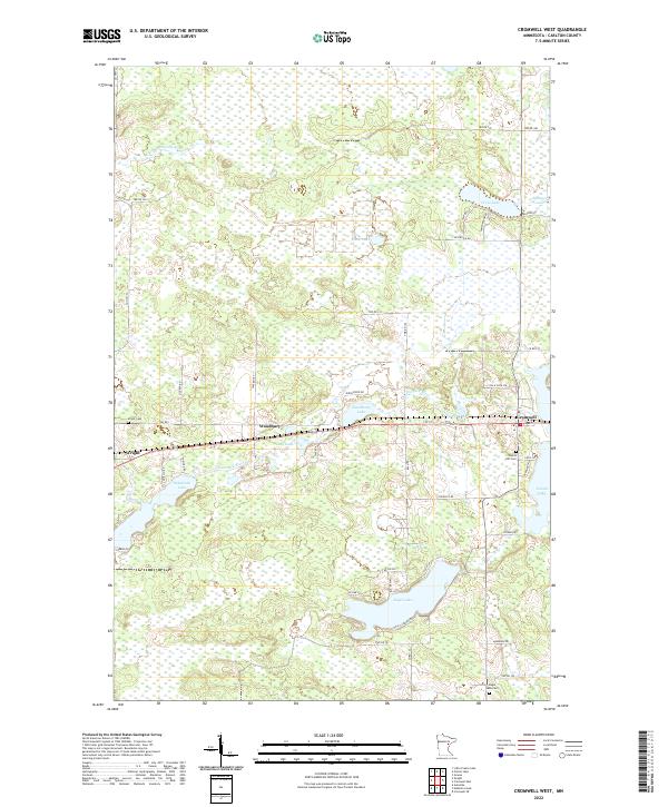
2022 Cromwell West
Carlton County, MN
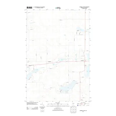
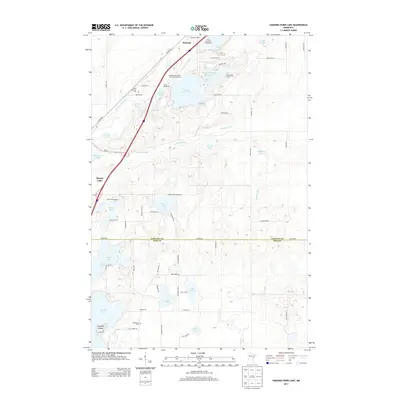
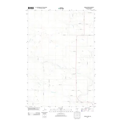
2022 Frogner
Carlton County, MN
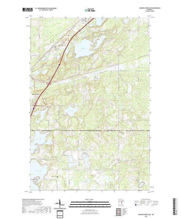
2022 Hanging Horn Lake
Carlton County, MN
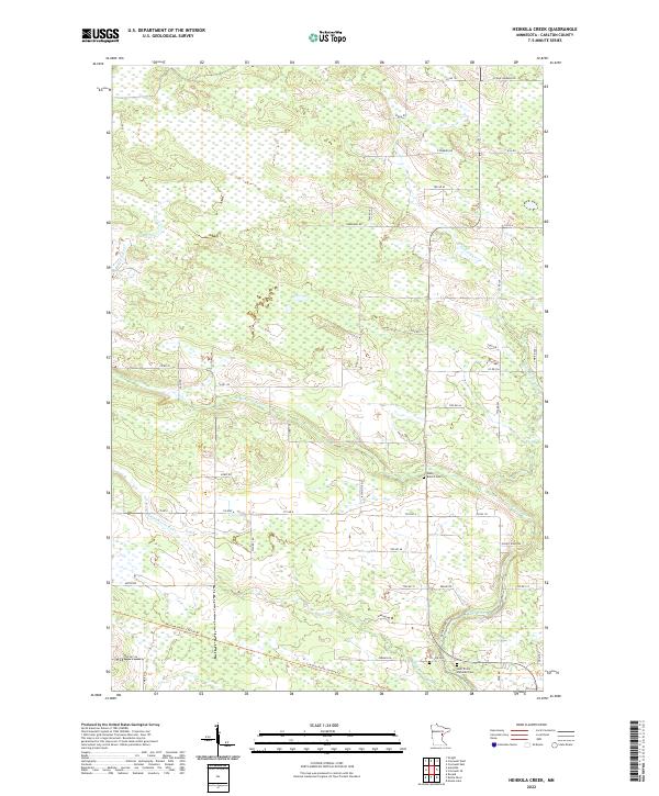
2022 Heikkila Creek
Carlton County, MN
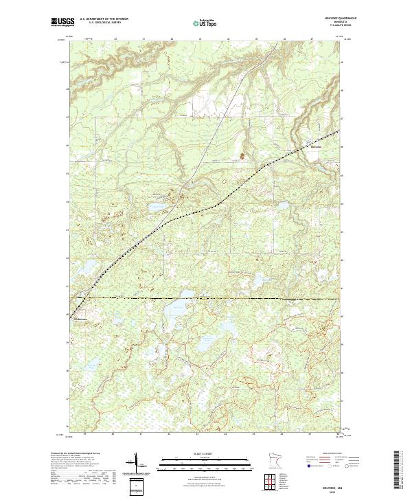
2022 Holyoke
Carlton County, MN
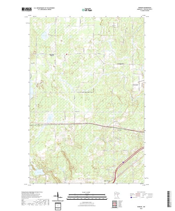
2022 Iverson
Carlton County, MN
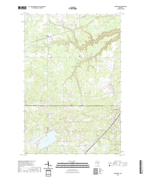
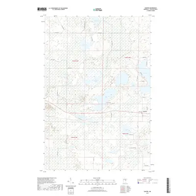
2022 Nickerson
Carlton County, MN
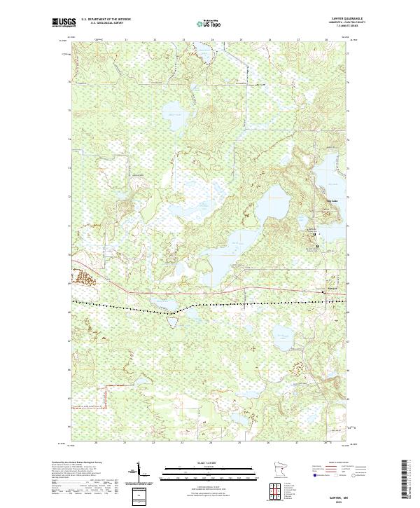
2022 Sawyer
Carlton County, MN