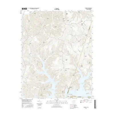
2016 Map of Frogue
USGS Topo · Published 2016About this map
The sprawling waters of Dale Hollow Lake define the southern landscape of this 2016 survey along the Kentucky-Tennessee border. Numerous inlets and coves, such as Jackson Hollow and Bend Hollow, highlight the complex shoreline created by the damming of the Obey River. North of the water, the terrain transitions into the high ridges and deep hollows of Cumberland and Clinton Counties. Long-established communities like Frogue, Green Grove, and Hegira are connected by a network of winding roads, including Old Frogue-Albany Rd and Midway Church Rd.
Find a feature on this map
108 named features on this map. Tap any name to fly to it.
Don’t see what you’re looking for? This feature index may not catch every label — zoom into the map to look around manually.
Map Details
Editions of this 2016 Frogue Map
This is the sole edition of this map. No revisions or reprints were ever made.
Other maps of this area

1924 · Lillydale
USGS Topo · 1:62,500

1926 · Lillydale
USGS Topo · 1:62,500

1929 · Lillydale
USGS Topo · 1:62,500

1929 · Byrdstown
USGS Topo · 1:62,500

1953 · Waterview
USGS Topo · 1:24,000

1953 · Burkesville
USGS Topo · 1:24,000

1953 · Wolf Creek Dam
USGS Topo · 1:24,000

1954 · Frogue
USGS Topo · 1:24,000

1954 · Blacks Ferry
USGS Topo · 1:24,000

1954 · Albany
USGS Topo · 1:24,000