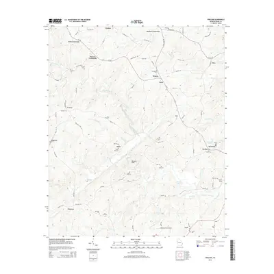
2014 Map of Frolona
USGS Topo · Published 2014About this map
Barkers Crossroads and Yates Crossroads anchor the northern landscape of Heard County in this 2014 survey, where the road network follows the undulating terrain between Deer Cr and the larger Hillabahatchee Creek. The area is defined by numerous family-named landmarks and historical burial sites, including the Ridley Davis Cem near the settlement of Ridley and the Lancaster Cem north of Mahailey Crossroads. These sites provide significant genealogical points of interest for researchers tracing the early families of the region.
Find a feature on this map
90 named features on this map. Tap any name to fly to it.
Don’t see what you’re looking for? This feature index may not catch every label — zoom into the map to look around manually.
Map Details
Editions of this 2014 Frolona Map
This is the sole edition of this map. No revisions or reprints were ever made.
Other maps of this area

1899 · Wedowee
USGS Topo · 1:125,000

1902 · Wedowee
USGS Topo · 1:125,000

1953 · Atlanta
USGS Topo · 1:250,000

1957 · Atlanta
USGS Topo · 1:250,000

1958 · Atlanta
USGS Topo · 1:250,000

1964 · Glenn
USGS Topo · 1:24,000

1964 · Hillcrest
USGS Topo · 1:24,000

1964 · Roopville
USGS Topo · 1:24,000
1964 · Franklin
USGS Topo · 1:24,000
1964 · Lowell
USGS Topo · 1:24,000