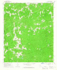
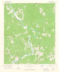
1964 Map of Glenn
USGS Topo · Published 1966About this map
Glenn sits at a geographic crossroads in the early 1960s, where the borders of Heard, Randolph, and Troup counties meet at the Georgia-Alabama line. The landscape is defined by a dense network of country churches that anchored these rural communities, including Bethel Ch, Mt Carry Ch, and Union Grove Ch. These congregations, often paired with small family or community burial grounds like Mt Zion Cem, provide essential evidence for genealogists tracing local family footprints across the state line.
Find a feature on this map
33 named features on this map. Tap any name to fly to it.
Don’t see what you’re looking for? This feature index may not catch every label — zoom into the map to look around manually.
Map Details
Editions of this 1964 Glenn Map
2 editions found
Other maps of this area

1899 · Wedowee
USGS Topo · 1:125,000

1902 · Wedowee
USGS Topo · 1:125,000

1953 · Atlanta
USGS Topo · 1:250,000

1957 · Atlanta
USGS Topo · 1:250,000

1958 · Atlanta
USGS Topo · 1:250,000
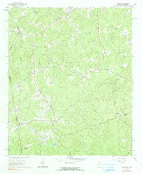
1964 · Abbottsford
USGS Topo · 1:24,000
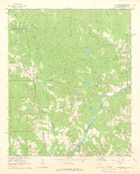
1964 · La Grange
USGS Topo · 1:24,000
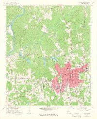
1964 · Hillcrest
USGS Topo · 1:24,000
1964 · Franklin
USGS Topo · 1:24,000
1964 · Frolona
USGS Topo · 1:24,000