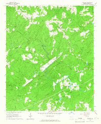
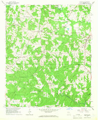
1964 Map of Frolona
USGS Topo · Published 1966About this map
Backbone Ridge forms the topographic spine of this western Heard County landscape, where the rural character of mid-1960s Georgia is preserved through a network of small family-named communities and country churches. The map highlights the social geography of the era, marked by numerous local landmarks such as Yates Crossroads, Barkers Crossroads, and Mahalley Crossroads, which served as regional navigational points. Along the winding courses of Hillabahatchee Creek and Town Creek, the area shows a pattern of dispersed homesteads and small impoundments like Allens Lake and Centralia Lake. Genealogists may find value in the many identified religious and burial sites, including Olive Branch Ch, Skinner Chapel, and Hearn Cem, which anchor the local history of settlements like Frolona and Adamson. The presence of several Pipelines and a Lookout Tower near Rockridge suggests the integration of modern infrastructure and forestry management within this traditional agricultural and wooded terrain.
Find a feature on this map
40 named features on this map. Tap any name to fly to it.
Don’t see what you’re looking for? This feature index may not catch every label — zoom into the map to look around manually.
Map Details
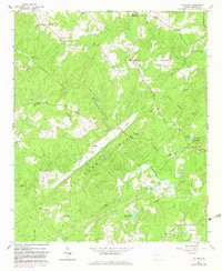
Editions of this 1964 Frolona Map
2 editions found
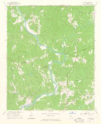
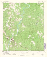
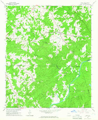
Other maps of this area

1899 · Wedowee
USGS Topo · 1:125,000

1902 · Wedowee
USGS Topo · 1:125,000

1953 · Atlanta
USGS Topo · 1:250,000

1957 · Atlanta
USGS Topo · 1:250,000

1958 · Atlanta
USGS Topo · 1:250,000
1964 · Glenn
USGS Topo · 1:24,000
1964 · Hillcrest
USGS Topo · 1:24,000
1964 · Roopville
USGS Topo · 1:24,000
1964 · Franklin
USGS Topo · 1:24,000
1964 · Lowell
USGS Topo · 1:24,000