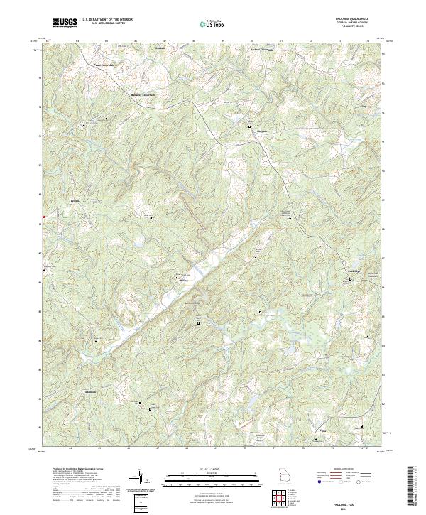
2024 Map of Frolona
USGS Topo · Published 2024About this map
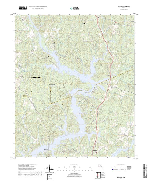
Hillabahatchee Creek and its many tributaries, including Copeland Creek and Little Creek, carve through the rolling terrain of Heard County, Georgia. This rural landscape is defined by its numerous crossroads and named ridges, such as Backbone Ridge and Stone Mill Mountain. Small family and community burial grounds are scattered throughout the countryside, including Macedonia Cem, Ridgeway Cem, and the Ridley Davis Cem, providing significant touchpoints for genealogists researching the families of this region.
Find a feature on this map
84 named features on this map. Tap any name to fly to it.
Don’t see what you’re looking for? This feature index may not catch every label — zoom into the map to look around manually.
Map Details
Editions of this 2024 Frolona Map
This is the sole edition of this map. No revisions or reprints were ever made.
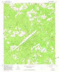
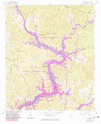
Historical Maps of Ridgeway Through Time
4 maps found