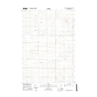
2015 Map of Fromm Lookout Tower
USGS Topo · Published 2015About this map
Fromm Lookout Tower stands as a prominent landmark in this section of northern Wisconsin, overlooking a landscape defined by the intricate drainage of the Copper River system. The confluence of the North Fork Copper River, Middle Fork Copper River, and S Fork Copper River creates a complex network of wetlands and seasonal waterways. This area, primarily within the townships of t32n r4e and t31n r5e, shows a transition between managed timber lands and rural development. Transport is facilitated by a grid of local roads, many of which carry family names like Natzke Rd and Savaske Rd, or point to past land uses such as Cranberry Trl and Lost Forty Rd. Small tributaries including Prust Cr and McGinnis Cr feed the larger river forks, while Devils Cr marks the southeastern corner of the quadrangle.
Find a feature on this map
33 named features on this map. Tap any name to fly to it.
Don’t see what you’re looking for? This feature index may not catch every label — zoom into the map to look around manually.
Map Details
Editions of this 2015 Fromm Lookout Tower Map
This is the sole edition of this map. No revisions or reprints were ever made.
Other maps of this area

1902 · Marathon
USGS Topo · 1:125,000

1945 · Rib Lake
USGS Topo · 1:48,000

1947 · Rib Lake
USGS Topo · 1:48,000

1949 · Rib Lake
USGS Topo · 1:48,000

1950 · Spirit Falls
USGS Topo · 1:48,000

1951 · Athens
USGS Topo · 1:48,000

1951 · Hamburg
USGS Topo · 1:48,000

1952 · Spirit Falls
USGS Topo · 1:48,000

1953 · Rice Lake
USGS Topo · 1:250,000

1954 · Iron Mountain
USGS Topo · 1:250,000