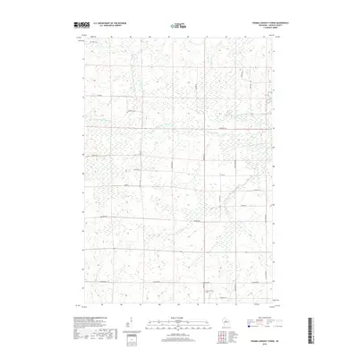
2018 Map of Fromm Lookout Tower
USGS Topo · Published 2018About this map
Fromm Lookout Tower stands as a focal point in this Lincoln County landscape, overlooking a complex network of waterways and timberlands. The area is defined by the convergence of the North Fork Copper River, Middle Fork Copper River, and S Fork Copper River, which snake through the marshy terrain alongside McGinnis Cr and Garrison Cr. The human footprint is marked by a grid of rural routes named for local families and landmarks, such as Joe Snow Rd, Natzke Rd, and Savaske Rd. The presence of Cranberry Trl suggests the agricultural history of the region, while the northern boundary is marked by the interestingly named Lost Forty Rd, a label often associated with surveying anomalies in the Northwoods.
Find a feature on this map
28 named features on this map. Tap any name to fly to it.
Don’t see what you’re looking for? This feature index may not catch every label — zoom into the map to look around manually.
Map Details
Editions of this 2018 Fromm Lookout Tower Map
This is the sole edition of this map. No revisions or reprints were ever made.
Other maps of this area

1902 · Marathon
USGS Topo · 1:125,000

1945 · Rib Lake
USGS Topo · 1:48,000

1947 · Rib Lake
USGS Topo · 1:48,000

1949 · Rib Lake
USGS Topo · 1:48,000

1950 · Spirit Falls
USGS Topo · 1:48,000

1951 · Athens
USGS Topo · 1:48,000

1951 · Hamburg
USGS Topo · 1:48,000

1952 · Spirit Falls
USGS Topo · 1:48,000

1953 · Rice Lake
USGS Topo · 1:250,000

1954 · Iron Mountain
USGS Topo · 1:250,000